-
Paris hospital dog trial goes from strength to strength
An English setter rescue dog at one of the world’s top cancer hospitals in Paris has been described as “a bubble of oxygen”
-
PHOTOS: Olympic Flame to travel to France on beautiful historic ship
The 127-year-old ship sets sail on Saturday with ‘the most important passenger it has ever carried’
-
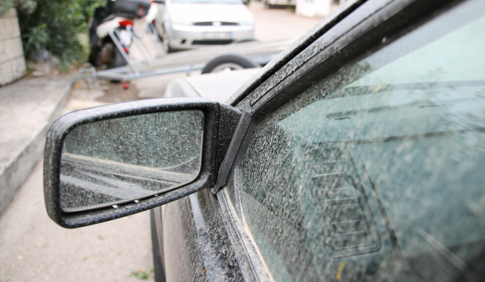
Phone scams, gardening, insurance claims: 5 French practical updates
Our roundup of recent practical articles you may have missed
Forecasters warn of violent overnight storms
Thunderstorms to develop in Massif Central and Pyrénées on Friday afternoon and will last until early Saturday

Eighteen departments in a band from the east of the country to the southwest have been placed on orange storm alert.
The latest wave of storms were due to develop from 2pm on Friday and were expected to last until 6am on Saturday, Météo-France said in its early morning bulletin.
The departments affected are: Ain (01), Allier (03), Ardèche (07), Aude (11), Aveyron (12), Cantal (15), Drôme (26), Gard (30), Hérault (34), Isère (38), Loire (42), Haute-Loire (43), Lozère (48), Puy-de-Dôme (63), Rhône (69), Savoie (73), Haute-Savoie (74) and Tarn (81).
Severe thunderstorms are expected from early [Friday] afternoon over the Auvergne-Rhône-Alpes region into the night, forecasters said. Storms were expected to develop at the northern end of the Massif Central, and spread rapidly to lower-lying areas.
A second wave of thunderstorms will develop to the south of the Massif Central later in the day, which will affect parts of the Rhône valley and the Alpine departments in the evening and overnight. Forecasters predict up to 30mm of rainfall in some areas and winds of up to 80kph.
Eastern areas of the Occitanie will also be affected from the afternoon and late into the evening as violent storms form along the coast as well as in Lozère and along the Pyrénées. Forecasters warn of hail, up to 50mm of rain in the worst affected areas in as little as an hour and winds of up to 80kph.
Several departments in the southwest witnessed impressive storms overnight on Thursday, notably in the Lot and the Tarn.
Stay informed:
Sign up to our free weekly e-newsletter
Subscribe to access all our online articles and receive our printed monthly newspaper The Connexion at your home. News analysis, features and practical help for English-speakers in France