-
Why Google Maps has disappeared in France and how to get it back
Searches for place names no longer lead to the online map
-
Basque and Corsica languages now included in Google Translate software
The online tool now has more than 130 languages available. However, Breton is still yet to join the list
-
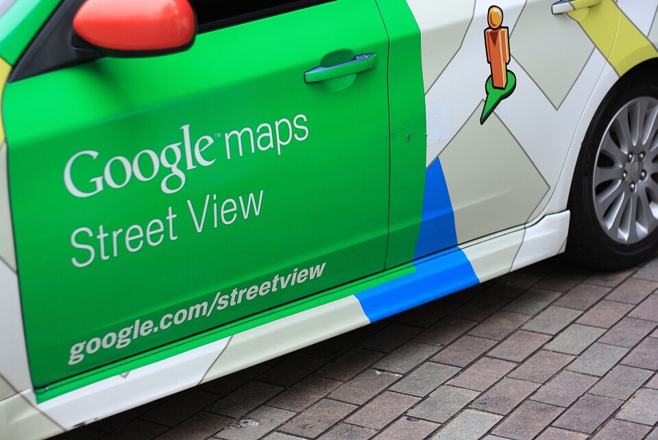
The 10 most-visited places in France on Google Street View
While the Eiffel Tower tops the list (and is the third-most visited monument in the world), a rather more surprising beach sculpture came in second
Explore 13 French landmarks with 3D Google Maps
Google Maps plans to expand its "Immersive View" feature to cover all Paris
Google maps has unveiled 3D views of 13 French landmarks, with its ‘Immersive View’ function set to be available across the whole of Paris in the coming months.
With the exception of the Fondation Maeght which is in Saint-Paul-de-Vence (Alpes-Maritimes) all of the landmarks are in the Paris region. They include the Eiffel Tower and the Château de Versailles.
The function is available in the Google Maps app and has already been launched in other cities including London, Los Angeles and New York.
The technology uses computer vision and AI to fuse together Street View and aerial images to create an interactive, 3D rendering of a given city. A time slider allows you to see what the area is like at different times of day.


