-
Disability group to sue French state over accessibility failures
Systemic failures in enforcing accessibility laws prompted APF France handicap to take legal action
-
Uber will soon let users book hotels through the app
New partnership with Expedia part of ambition to become ‘all-in-one’ app
-
Hiking in France: this rock detail could signal vipers nearby
A way to spot the sun-warmed rocks and hidden crevices where vipers and other snakes are likely to rest
Mobile app helps blind hikers explore France
The Robert Louis Stevenson Trail in the south of France is now fully accessible to visually-impaired people, thanks to an app which reads out regular directions
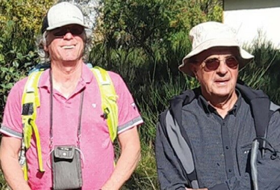
A group of blind and visually impaired people recently traced the footsteps of Robert Louis Stevenson on a hike in southern France, thanks to a mobile app designed to help them become more independent.
Over seven days, five hikers covered 130km of the GR 70 trail, known as the Chemin de Stevenson, from Puy-en-Velay to Chasseradès, southern France.
Gérard Muller, president of Yvoir, the association which led the expedition in late September, said: “There were people who had never walked on their own.
“One woman, Annie, who is completely blind, previously only walked holding on to somebody’s arm. It was difficult at the start, but she gained in confidence and was able to do the rest by herself.”
App made possible by GPS
Read more: Driverless cars inspire French AI expert to build tool for the blind
That was made possible by the Openway GPS app, which Yvoir helped to develop.
The free app speaks and guides the user between different checkpoints, 30 metres apart, using a clock face.
It might say “Next point at 12 o’clock, in 30 metres”, meaning to walk straight ahead. If the user strays off path, it will adjust its instructions.
Two of the participants on the hike were accompanied by guide dogs, while others relied on their white canes. “If the app says to turn left, the dog will spontaneously find the path.
“It is more difficult with the cane, but we get there,” Mr Muller said.
One of the hikers, Grégoire, 31, enjoyed the experience so much he wants to become a tour guide.
The group was supervised by two mountain guides Yvoir had trained to use the app and to recognise which types of path would be difficult. They then taught the hikers to use it.
Training ‘essential’
The training component is essential, Mr Muller said.
“The idea is that, afterwards, they will digitise the paths around where they live, so they will become independent and won’t need to always ask someone to accompany them.”
It is only necessary to follow the path once while accompanied and the app will record it automatically. Users can add comments, where there is a danger such as a road crossing or where specific instructions are required to find the path.
The route is then available to other users of the app. Yvoir is planning to organise evening training sessions in Strasbourg, which they hope to replicate in other cities, with a hike across the Vosges Mountains also on the cards.
Mr Muller, 74, has retinitis pigmentosa, a condition which caused him to progressively lose his eyesight and become blind by the age of 50.
Read more: Blind Frenchman’s sight partially restored by pioneering gene therapy
He has always been hungry for adventure, including cycling from Paris to Beijing. “Becoming blind was a double penalty,” he said.
When he met René Farcy, a professor at Paris-Saclay University who was developing an app to help blind people get around, he wasted no time.
Hiking the Camino de Santiago solo
Using the prototype app, in 2011, he walked the famous Camino de Santiago, including the 750km in France, which he completed on his own.
Today, 1,500km of hiking paths have been digitised, mainly in eastern France. The app can also be used in cities, by inputting an address, and through cultural tours of local monuments.
“Only five per cent of blind people get around independently. That’s because people do not want to be seen with a cane as they are ashamed to be blind, and above all because there are too few orientation and mobility specialists to teach them.
“For 900,000 people in difficulty, there are 270 instructors, and people often have to wait up to two years.”
Related links
Are guide dogs still allowed to travel between UK and France
French cinema finds a way for deaf and hearing viewers to share films