-
Woman, 70, charged over murder of British woman Karen Carter in Dordogne
Mrs Carter was stabbed eight times outside her home in 2025
-
What are carry-on liquid rules when flying from the UK or US to France?
Who sets the limits, why they were introduced, and what passengers should check before going through airport security
-
Hikers in French Pyrenees hospitalised after drinking mountain water
Why water from a mountain stream is not always safe to drink from and how to avoid dehydration
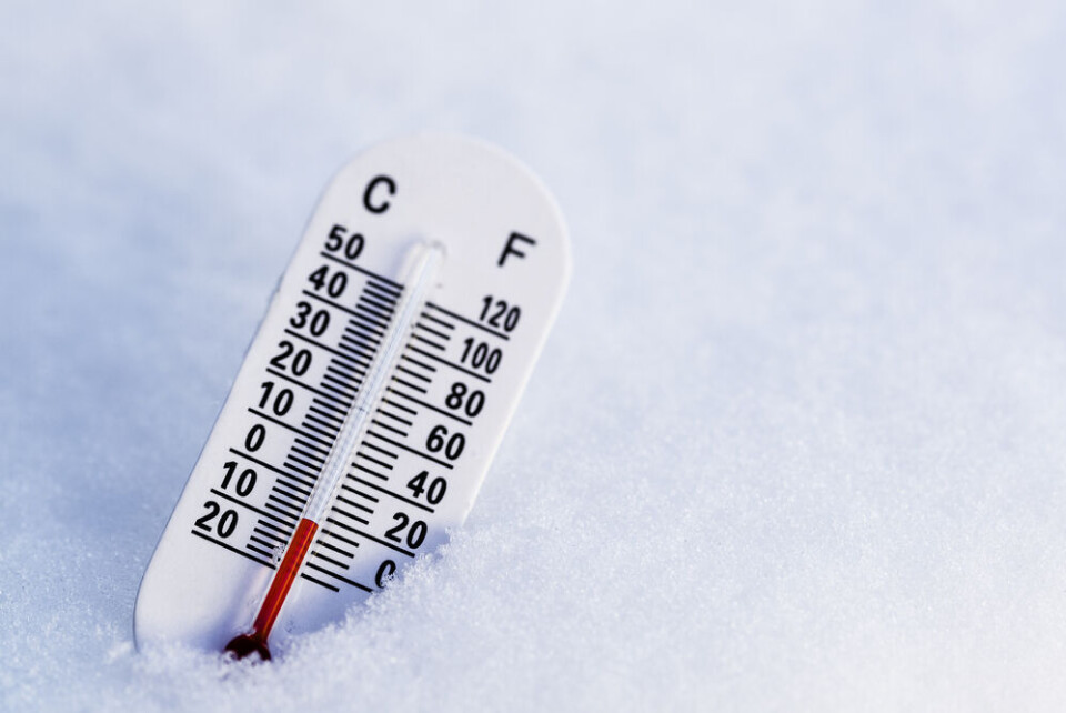
Alerts remain and snow due in south-west France but cold easing
Most areas to see temperatures go above freezing by Thursday afternoon but drivers are warned to be cautious
Update: There are now six departments facing tier-three warnings for poor driving conditions. These are Lozère, Cantal, Aveyron, Tarn, Aude, Hérault
Freezing temperatures remain over the north of the country, but temperatures should begin to rise from Thursday afternoon. Several departments remain on alert, with drivers in particular warned to be careful due to black ice.
We look at the current situation and the outlook for the week.
What is the current situation?
Temperatures were still below freezing across the majority of the country this morning, with most areas registering between -8C and -2C.
They will rise slightly over the course of the day, although areas north of the Loire should remain below 0C. In Paris, temperatures might reach 1C.
There was some snowfall in the south-west this morning (January 10), notably in Bordeaux and the Landes department. Up to 10cm of snow is set to fall in some areas, and snow may fall tonight and Thursday (January 11) morning as well.
In the Occitanie region, some snow may fall this evening.
The Mediterranean coastline has returned to average temperatures, and Marseille and Nice are set to reach around 12C today.
Over half French departments – mostly in the north – still have their grand froid plans in place to help those vulnerable to the cold weather, however some are likely to be lifted by the end of the week.
Caution urged for drivers
There are 63 departments facing tier-two yellow warnings due to the danger of black ice for drivers, and two – Cantal and Lozère – at a heightened tier-three level.
Yesterday (January 9) saw almost 1,000 km of traffic across France in the morning, after overnight chaos caused by heavy snowfall.
In the Normandy region, school transport services are still suspended in several departments, with restrictions also in place for lorries and heavy vehicles on certain roads.
School transport is also temporarily restricted in other departments such as the Yonne.
If you have queries about which services in your area are affected, contact your local authority.
The A12 and A13 motorways – temporarily closed yesterday – are now open again.
Active weather warnings also remain in both the Nord and Pas-de-Calais departments, which are on a tier-three orange alert due to river flooding. There are also several departments on alert in the Alps and Pyrenees due to avalanche warnings.
To see a full list of the departments on alert, consult the Météo France website. Note that these warnings are likely to change throughout the day.
Read more: Cold in France: tips on what to eat and how to prepare home
What is the outlook for the coming days?
In the south, temperatures will begin to climb from today. Cities in the south-west should reach between 4C (Bordeaux) and 6C (Toulouse), with rural areas slightly lower.
That being said, snowfall in some areas may return tonight, depending on overnight temperatures.
In the north, temperatures are set to rise slightly on Thursday afternoon, which should bring them back above 0C in most areas.
The cold will remain until Thursday afternoon, when temperatures should “return to positive almost everywhere,” says Météo France.
Only the Nord department could see temperatures remain in the negative until the weekend, it adds.
By Saturday (January 13), temperatures across France should have returned to the seasonal norms, although there could be a minute drop on Sunday due to cloudy weather.
Related articles
Duck Cold! French phrases to use for chilly weather
Power cuts, tyres, fires: 12 rules for winter weather in France


