-
British burglary victims to relive ordeal as attackers appeal in France
The couple were attacked during the burglary in Lot-et-Garonne in 2022
-
Bordeaux Airport invests in AI to cut waiting times
A new tool is being trialled with the aim of improving passenger flow and satisfaction
-
Meningitis case in France linked to University of Kent outbreak
The infected person is a student at the university. At least two people have died in the UK outbreak
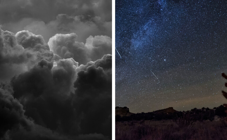
Another storm warning in south and shooting stars over France tonight
Drôme is under an orange alert for heavy rain and flooding. Despite the stormy weather, temperatures are expected to remain warm

The department of Drôme has joined Ardèche under and orange alert for heavy rain and flooding today (October 21).
“The intensity of the rain was reinforced overnight on the Ardèche Cévennes,” Météo France has stated. “Since yesterday morning, up to 100-120mm of rain has been recorded.
“On Friday, this rain could become stormy, with sudden strong showers, and it will tend to slide towards lower ground. Rainfall could reach 150-250mm or more in localised areas, over the course of this episode (Thursday to Saturday morning) over the Cévennes.”
Some 56 departments are also under yellow weather warnings, 52 for storms and a risk of flooding, and four in Brittany for strong winds.
This comes as Météo France forecasts a continuation of this week’s warm weather until the end of October.
Southern areas of France saw highs of up to 30C this week, with temperatures exceeding 20C over the rest of the country.
On Monday (October 24), Météo France predicts temperatures of around 25C in the south west, and up to 26C in Corsica. Across the country, it should not dip below 17C.
Friday, October 28 will also see this minimum temperature, and on Monday, October 31, cities like Bordeaux and Biarritz are expected to see highs of 22C.
The warm weather is being caused by a depression in the Atlantic, which is enabling mild air to reach France from the Canaries and the Iberian peninsula.
Watch out for the Orionids meteor shower
The peak of the Orionids meteor shower (les Orionides) will take place tonight. The ‘shooting stars’ have already been visible in French skies for a couple of weeks, coming from the direction of the Orion constellation in the east.
Cette image vient d'un coin du ciel très connu, visible à l’œil dans un ciel dénué de pollution: la nébuleuse d'Orion. Le gaz et la poussière qui alimentent des étoiles en formations sont révélées de manière spectaculaire ici par les images infrarouges du télescope spatial WISE. pic.twitter.com/sSrcP39nLT
— Eric Lagadec✨🌍 (@EricLagadec) October 19, 2022
The meteor shower is associated with Halley’s Comet, which crosses in front of the Earth every 76 years, the last time being in 1986. The comet leaves behind it a trail of dust which the Earth passes through each year.
The dust travels at around 67km/h into our atmosphere and burns, creating the effect of a shooting star.
Even if you cannot see the meteors tonight – perhaps as a result of the storms affecting France today – you may be able to view them up until the beginning of November.
Related articles
Storm warnings hot on heels of warm spell in southern France
French journalists pledge more responsible reporting on climate issues
Orange skies on way again as winds bring Saharan sand to France
Autumn leaves: Rules as to what to do with garden waste in France


