-
Rugby players in east of France come to the rescue of retirement home residents
'Before we started warming up I told the players that we were going on a little mission,' said the coach
-
Pylons threaten Camargue nature reserve in south of France
15 environmental groups launch appeal to President Macron
-
New Asterix book marks 50 years of celebrated film
The animated classic holds a special place in France’s enduring love for Asterix
Heavy rain, hail, high winds: France’s south-west put on storms alert
Winds of 100 km/h are set to hit on Thursday evening
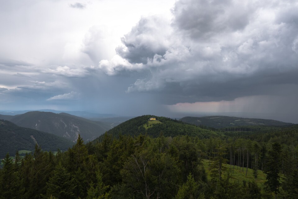
After barely seeing the back of the last set of storms, France’s south-west is again bracing itself for unsettled weather.
Wind gusts of up to 100km/h and heavy rain - in addition to the possibility of hailstorms near the Mediterranean coast - are expected today (July 27).
The storm is set to begin around 18:00 in the Pays-Basque area and reach its height across the south between 20:00 – 23:00.
“The period of greatest risk will be between 8pm and 11pm before the weather phenomena diminish in intensity,” said weather channel La Chaîne Météo.
Méteo France has issued weather warnings to 10 south-west departments.
Four departments face tier-three, orange warnings - the second-highest level. They are:
- Haute-Garonne
- Gers
- Pyrénées-Atlantiques
- Hautes-Pyrénées.
Warnings of this level mean people in the affected areas should be "very vigilant" as "dangerous phenomena" are expected.
Six others are on tier-two yellow warnings. They are:
- Ariège
- Aude
- Pyrénées-Orientales
- Tarn
- Hérault
- Aveyron
Warnings of this level mean residents should be cautious when going outside, and keep up to date with local weather reports.
🟠⛈️4 départements en #VigilanceOrange en raison des #orages forts attendus ce soir. Dès cette fin d'après-midi depuis le Béarn, puis en se décalant rapidement à l'est, des rafales de vent voisines de 100 km/h, des chutes de grêle, et des pluies intenses sont possibles. pic.twitter.com/3V8vZNQh4G
— VigiMétéoFrance (@VigiMeteoFrance) July 27, 2023
Elsewhere, departments in the far north of France near the Belgian border are also facing weather warnings for flooding due to heavy rain.
Read also
Major road and rail delays as wildfires are sparked in southern France
What is the Foehn effect and how has it intensified France’s heatwave?


