-
Queues for low-cost air conditioners as France braces for further heatwave
‘Maybe thirty seconds after the store opened, everything was gone’
-
France’s Assurance Maladie pushes to ban smoking for young people
Health agency seeks to follow UK example in creating a ‘tobacco-free generation’
-
European airports at ‘critical point’ due to EES, warns trade body
Five-hour queues reported as calls for EES suspensions grow
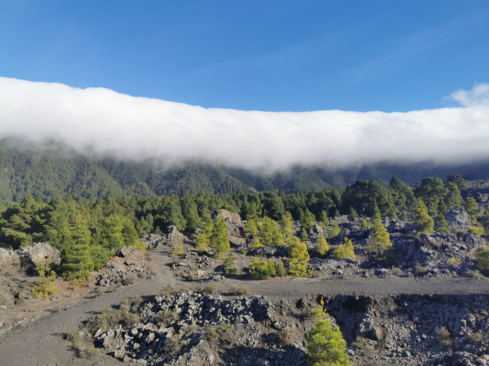
What is the foehn effect and how has it intensified France’s heatwave?
The phenomenon is thought to have increased temperatures in Ariège from 17C to 36C in under an hour
It is well-known that southern France is dealing with an extended heatwave that has seen temperatures hit 40C this week.
Focused on the departments on the country’s Mediterranean coast, there are numerous reasons for the mercury spikes.
One of the most interesting has been the impact of a hot, dry wind.
Known as the foehn effect, it is created when wind hits a mountain. It can lead to sudden and intense rises in heat.
Experts say this is what happened on Tuesday (July 18) when the temperature in Saint-Girons, Ariège, rose from 17C to over 35C in less than an hour.
🥵 La levée du vent de sud sur les #Pyrénées entraîne un important effet de #foehn en #Ariège. À 9h, le thermomètre affiche déjà 35,5°C à Saint-Girons ! pic.twitter.com/5UOOb6jG7c
— Guillaume Séchet (@Meteovilles) July 18, 2023
How does the foehn effect happen?
When a warm wind comes into contact with a mountain the air will typically rise.
“As it rises, it cools, loses moisture and therefore dries out, but also relaxes,” said weather forecaster Sébastien Laés to actu.fr.
The air then tends to compress, “resulting in precipitation on the windward side of the mountain”, he added.
On the other side of the mountain, however, "the air will compress as atmospheric pressure returns, which will warm it up.”
The lack of moisture in the air means the wind has a greater chance of rapidly increasing temperatures.
If winds hit the eastern sides of the mountain, therefore, cities on the west – the majority of mountainous French towns lie to the west of the French Alps – will see temperatures rise.
The foehn effect can lead to huge temperature differences on either side of a mountain, with differences of “up to 15 degrees” , said Mr Laés.
See also: Map: What is the highest temperature recorded in your part of France?
Can it be dangerous?
Areas affected by the foehn effect are threatened by a number of issues, particularly in the summer.
Alongside the rapid changes in heat, foehn storms can bring brutal weather.
On mountainsides affected by rain, violent storms can often occur with gusts of accompanying wind.
In 2020, storm Barbara (a foehn storm) saw wind speeds of 210 km/h recorded in the Pyrénées-Atlantiques department.
The phenomena, which can happen in any hilly area but is more predominant in mountainous regions, usually only lasts a day or two, however, as the wind gets circulated to new areas.
Read also
Heatwave-hit south of France set for respite by the weekend
France heatwave tips: How to sleep, keep cool and stay healthy


