






Highs of 35C, heatwave alerts expected: France braces for hot start to September
Heightened orange alerts have only been raised once before in September
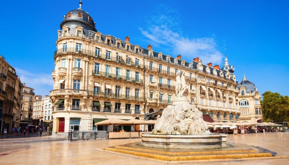


A new wave of intense heat is expected to see temperatures reach 35C across several parts of France in the coming days, with several departments primed to raise heatwave alerts by the end of the week.
The burst of hot weather will begin today (September 2) initially impacting the Languedoc area, before spreading to the rest of the Occitanie region, Nouvelle-Aquitaine, and the Rhône Valley on Thursday.
Highs of 35C around Montpellier are possible on Wednesday, and by Thursday highs of 35C in Bordeaux, Lyon, and several other southern cities are possible – La Chaîne Météo (owned by Le Figaro) even predicts highs of 38C.
In much of the south-west, temperatures will be around 12C warmer than usual for the season.
Warm conditions will spread north, with highs of well over 30C in central departments are expected at the end of the week, and thermometers may reach 30C in Paris despite some cloudy skies.
The warm temperatures will be joined by plenty of sunshine in the south, making conditions feel significantly warmer in some areas (temperatures are recorded in the shade).
Current forecasts see the intense conditions potentially in place until Sunday (September 6), before cooler winds at the start of next week see temperatures begin to drop.
“This event is notable because it is expected to last several days, and temperatures could approach records for the month of September,” said weather expert at state forecaster Météo France Adrien Warnan, quoted in Le Monde.
Worryingly, the forecaster also believes a return to dry, drought conditions is expected.
“The rains in late August offered a slight reprieve from the record soil drought conditions we had been experiencing since early July, but we could very quickly return to those extreme levels,” he said.
Currently, no serious rainfall (aside from light showers, too weak to penetrate soils) is expected for several weeks.
New heatwave incoming?
The length of the heat makes it possible that several southern departments may implement heatwave (canicule) warnings over the coming days, a record sixth set of heatwave alerts across the year.
Canicule alerts are implemented on a departmental level, based on local temperature thresholds being reached.
Both day- and night- temperatures must reach a certain level for three consecutive days for departmental warnings to be implemented.
Note that these departmental alerts are separate to a ‘national heatwave’, that is recorded when national average temperatures reach 23.4C for at least three consecutive days, and 25.3C for one day.
This is also why the number of ‘heatwaves’ reported this summer can differ – despite heightened orange alerts in May, national temperatures did not reach thresholds so a national heatwave was not declared.
Temperatures further north will remain cooler this week, with Météo France believing a national heatwave is no longer the most probable scenario – but it has not ruled out the possibility.
In addition, it expects heightened local alerts to come into force in the south due to extended warm temperatures.
Fellow forecaster La Chaîne Météo predicts national average temperatures will reach 23.6C by Friday, but fail to remain at this level for three consecutive days, nor reach 25.1C.
Tier-three orange heatwave warnings have only been raised once before in September, during a burst of hot weather in 2023.
See La Chaîne Météo's latest forecast for weather predictions in your region.


