-
Dog owners warned after outbreak of deadly virus in Avignon
Owners told to keep unvaccinated pets at home
-
Rescuers in French Pyrenees warn against reckless hiking
Concerns raised after two 19-year-olds rescued following 20-hour ordeal
-
Old phones may be impacted as France begins 2G network shutdown
Lifts and some other devices could also be linked to old network
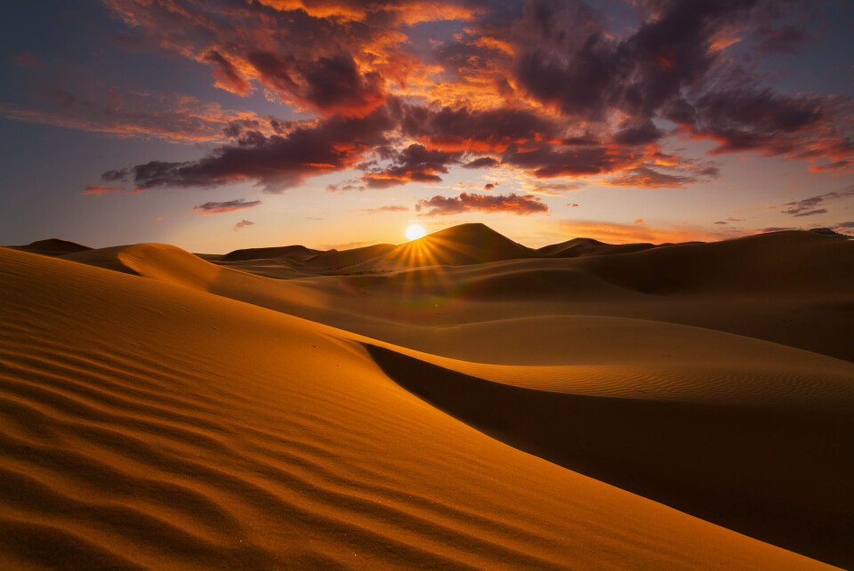
Photos: Saharan sand turns skies orange in southwest France
The annual weather phenomenon will especially affect Nouvelle-Aquitaine

Particles of Saharan sand are turning the air a deep shade of orange in southern France today (Tuesday, March 15) with the phenomenon forecast across many areas of Nouvelle-Aquitaine and Occitanie.
Météo France said that the highest concentrations will be in Gironde and will increase today, having started last night (March 14). It is expected to last until Friday.
😯#LaRochelle en direct ! @skaping #SaharanDust #sahara https://t.co/hkaaoGSvXc pic.twitter.com/j8G833nZby
— Météo-France (@meteofrance) March 15, 2022
The phenomenon happens when weather patterns cause particles of sand from the Sahara desert to be picked up and blown over Europe.
Marine Jeoffrion, a meteorological engineer at Météo France, told Actu.fr: “This meteorological phenomenon is mainly seen at sunrise and sunset. We are expecting to see it in the southwest today.”
Impressive extent of #SaharanDust across the Atlantic to South America & across W Europe and Mediterranean in the @CopernicusECMWF Atmosphere Monitoring Service @ECMWF 5-day aerosol optical depth 14 March 00 UTC forecast. Data available from https://t.co/W84Bwszpqr pic.twitter.com/CfdJ30QpC4
— Mark Parrington (@m_parrington) March 14, 2022
The phenomenon, which happens several times a year, is typical for this season. In 2021, there were several events in February and March, including one episode that saw the Pyrenees covered in a light dusting of orange snow, just like today, prompting some to call the mountains the "Saharan Pyrenees".
#pasdelacasa #andorra Pols/ sable saharien 📷 @fronterablanca pic.twitter.com/VXY5saD1A4
— Météo Pyrénées (@Meteo_Pyrenees) February 6, 2021
Étienne Blot, another meteorological engineer at Météo France, said: “However, it is quite unusual to have such a long episode [of the phenomenon]...we are far from the usual dynamic situation where the cloud passes relatively quickly.”
Prévisions du 15 mars des poussières désertiques pour les prochains jours, modèle régional #MOCAGE @meteofrance, confirmant l'évolution prévue hier.
— @vincentguidard.bsky.social (@vincentguidard) March 15, 2022
Les dépôts avec les pluies devraient concerner ajd plutôt le nord de la France. Les dépôts secs, plutôt sur Pyrénées et Sud Ouest. pic.twitter.com/VbbGTmot1E
The event will be far more visible in Nouvelle-Aquitaine at first, and intensify this evening, before gradually travelling further north, north-west towards Brittany, where it will be visible tomorrow (March 16). It will then travel further east towards the north-east of the country.
Another similar phenomenon could then arrive in the southwest and travel north again over the course of the week, “but these longer-term forecasts remain relatively uncertain”, said Mr Blot.
He said: “More intense concentrations should happen between Tuesday and Thursday.”
Ms Jeoffrion added: “[The visibility of the phenomenon] depends on the concentration of the sand, the cloudiness, the position of the sun…if the clouds are too thick and there is not enough light, we won’t see it.”
With sunshine forecast in the southwest, especially Bordeaux, over the next few days, the phenomenon should be clearly visible in the area.
Rain is forecast further north, meaning that some of the sand particles could deposit orange-tinged dust in some areas.
Is the sand dangerous to health?
Gaëlle Collin, another meteorological engineer at Météo France, said that there should be no adverse effect on human health, although “there can be effects for solar energy, and consequences for aeronautical activity”.
She said: “But for everyone else, it just creates magnificent skies that you can appreciate, and take photos.”
However, some studies have shown that the phenomenon can cause some health problems, including respiratory issues, for people who are especially vulnerable.
Related articles
Sahara sand to turn French skies orange again
Rain and wind to dust France with Saharan desert sand
Dramatic orange skies in France caused by Sahara sand
French scientists call for samples of Sahara sand in snow


