-
Rent-free tenancy can cause inheritance issues in France
Recent case shows danger of letting an adult child live in property for free
-
Maire in south-west France orders euthanasia of dog that attacked mother and daughter
The labrador crossbreed had escaped its owner before the attack
-
Why waiting times to charge electric cars in France are increasing
Charging queues are growing as 2026 sees a strong start in sales of electric vehicles
Temperatures up to 32C forecast next week for southern half of France
This could last into October setting new heat records although an official heatwave declaration is unlikely

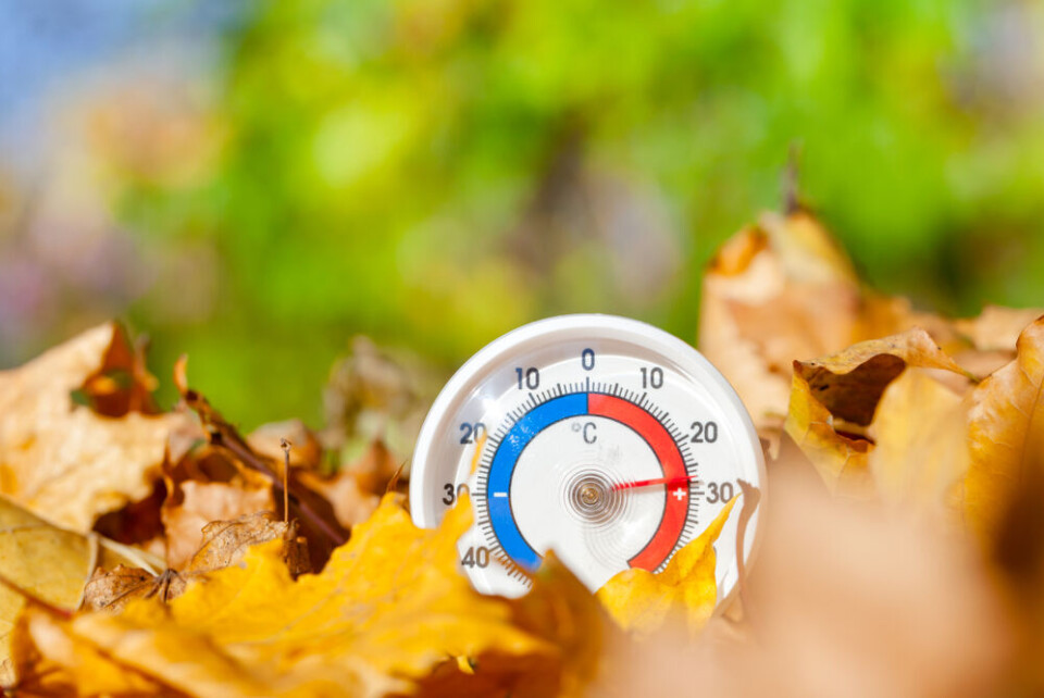
Hot weather is forecast to return to many areas of France next week and could continue into October – particularly in the south of France.
A yo-yoing forecast for the rest of this week will see warm temperatures today (September 20) followed by a slow drop on Thursday and Friday, before a rapid drop to below average September levels on Saturday.
Morning temperatures could hover between 6C and 10C on these days, with most of the country not seeing the mercury go above 20C, even at the hottest parts of the day, except on the Mediterranean coast.
That will change, however, from Sunday when an anticyclone is set to bring warm winds back across the country and higher temperatures such as 25C in Nouvelle-Aquitaine.
From Sunday onwards the combination of warm wind and cloudless skies should bring temperatures to over 30C for much of the country, with the ‘mini hot-spell’ lasting into next weekend.
Abnormal highs
Early forecasts for next week’s temperatures show a sharp break from traditional averages for September.
Despite Saturday (September 23) being the Autumn equinox, the average highs on Monday will be 26C above the Loire river and 29C below (roughly equating to the north and south of France).
Later in the week, until at least Thursday (September 28), these average highs climb to 27C north of the river, and 30C south of it.
These temperatures are around 10C higher than what is expected for this time of year.
As these are only average highs, however, some parts of northern France – set to have a week of clear skies and no rain – could still see 30C, especially later in the week.
In the three southernmost regions of Paca, Occitanie, and Nouvelle-Aquitaine, temperatures of 32C in the shade will be recorded throughout much of next week, with localised spikes above this level.
Read more: ‘Face the reality’: France ‘must prepare’ for +4C global warming
No heatwave declarations expected
Even with these high temperatures heatwave warnings are unlikely to be declared by Météo France.
This is because for a canicule to be declared, temperatures have to be above a certain level in the daytime, and then a corresponding high level (that depends on the daytime heat) overnight.
Although temperatures are expected to be significantly higher than normal during the day, at night they should remain at average levels, with most of France experiencing overnight temperatures of 16C or less.
This will allow homes to cool down overnight and limit the possibility of any ‘heat domes’ where hot wind becomes trapped.
With the duration of the warm weather, however, it cannot be fully ruled out that some heatwave warnings will be issued at some point. If so they would be the latest heatwave warnings ever declared in a calendar year.
Heat could last into October
The exceptional temperatures are expected to last into the next weekend and remain high for up to two weeks, until the beginning of October.
If they do, they could break average October heat records across France, although the highest ever October temperature recorded – 35.4C in Carpentras, near Avignon in 2001 – will take some beating.
Related articles:
How to keep your house cool in the high heat of the French summer
France heatwave tips: How to sleep, keep cool and stay healthy


