-
Surprise train strike to hit Normandy this weekend
Close to 40% of trains to destinations such as Evreux, Caen, and Rouen cancelled on Friday
-
French farmers clash with prefecture over help for firefighters
Farmers hurry to deliver water and supplies, but authorities say they must use official channels
-
World’s largest Celtic festival begins this weekend in Brittany
The 55th edition of France’s huge ‘Interceltic’ celebration is dedicated to Cornwall and the Celtic Sea
Update on Storm Ciaran in France - and new storm on way
More alerts are in place as a new storm is set to arrive on Saturday in the Atlantic
The effects of Storm Ciaran are still being felt in France with some departments facing heightened alerts.
In the south-west and south-east, level-three orange warnings are in place for high winds, coastal waves, and heavy rainfall.
Areas devastated by the storm yesterday (November 2), including many parts of Normandy, Brittany, and Hauts de France regions, are seeing continued disruptions to key services.
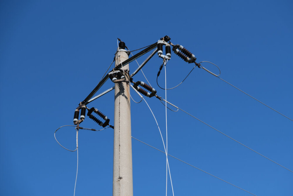
Over 500,000 homes are still without electricity.
Storm Ciaran began to batter France on Wednesday evening, and although less intense in nature, is hitting the country again today.
The storm has been responsible for 12 deaths in Europe, two of which were in France.
A new storm, named Domingos, is set to hit France's Atlantic coast over the weekend, but will be less intense than Storm Ciaran.
Disruptions continue
Strong winds from Storm Ciaran began to die down on Thursday (November 2) afternoon, as it made its way past the English Channel and Atlantic coast.
However, in some areas in the north, the strong winds were followed by intense rainfall, leading emergency services to continue working throughout the evening and heightened alerts to remain in place.
Guillaume Ferry, Operations Director at Predict Services (a subsidiary of Météo France that deals with risk alerts) warned residents across France to remain careful.
The storm “will pick up again quite quickly during the rest of the day [on Friday],” he said at a press conference yesterday evening.
“The situation is not going to improve straight away. We're still under the effect of this low-pressure rail… and this will continue until Sunday,” he added.
Residents in the north face disruptions in a number of areas on Friday morning.
The SNCF announced TER (regional train) services in the Hauts de France region would not run until the early afternoon at the earliest, and that most lines would still be facing disruptions after this.
Some might not run until at least Saturday as vital rail network infrastructure was damaged in the storm.
Train services in Normandy will also remain disrupted on Friday, and most services in Brittany will not run until Friday evening at the earliest.
Almost 500,000 homes in the north of France and Brittany are still without power but should see connections restored throughout the day.
More than 10,000 callouts had been made by emergency services such as firefighters since the storm arrived.
Read more: SEE: Dramatic scenes of storm Ciaran battering north-west France
New storm will hit over the weekend
No departments are facing tier-four red alerts for weather phenomena, although a handful of heightened orange warnings are still in place.
There were four departments facing these at 14:00 on Friday (November 3) – Pyrénées-Atlantiques, Pas-de-Calais, Haute-Corse and Corse-du-Sud.
🔶 5 départements en Orange pic.twitter.com/dh1uLYEPFR
— VigiMétéoFrance (@VigiMeteoFrance) November 3, 2023
Another 29 departments are facing tier-two alerts, mostly in the west, south-east, and north of France.
Warnings on the Atlantic coast hail the arrival of storm Domingos (confusingly set to arrive on Saturday), bringing winds of well over 100 km/h and heavy rainfall to coastal areas.
🔶 5 départements en Orange pic.twitter.com/dh1uLYEPFR
— VigiMétéoFrance (@VigiMeteoFrance) November 3, 2023
More than 80 departments are currently facing tier-two warnings on Saturday, both from the continuing effects of storm Ciaran and from Domingos.
You can keep up to date with the warnings for both Friday and Saturday using Météo France’s official website.
These warnings are likely to change throughout the day.


