-
4G antennas near homes in France spark legal and planning disputes
Applications already approved for 3,760 more
-
€30m clay subsidence scheme helps only 19 cases in France
'We cannot hide it: the result is not good', minister says
-
France 2021 inheritance law: Why wills choosing Scots law may be exempt from forced heirship
The same may also apply to wills electing law from one US state
Winds of up to 140km/h: Stormy episode to hit west France tomorrow
This follows another episode of strong winds that affected northwestern France on Monday
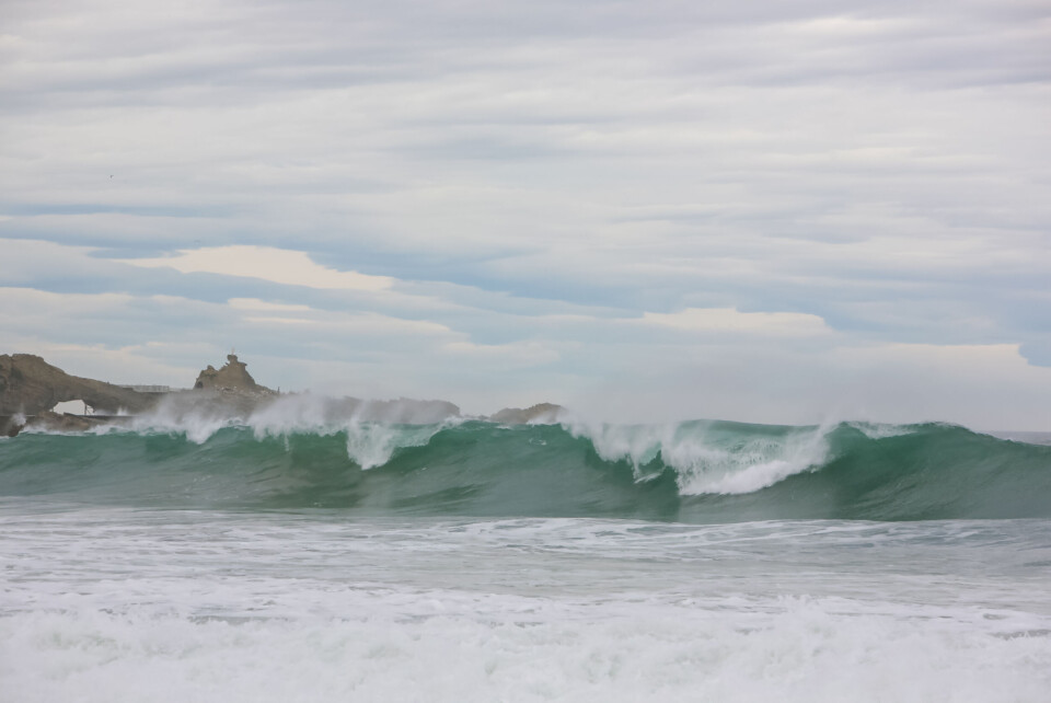
A storm is expected to arrive on France’s west coast tomorrow (November 3), bringing winds of up to 140km/h.
The stormy weather is forecast to be “even more violent” than Storm Claudio, which brought strong winds to much of Brittany and Normandy on Monday (October 31).
During this episode, the departments of Finistère, Morbihan, Côtes-d’Armor and Manche were particularly affected by winds of up to 130km/h, and placed under an orange weather alert by Météo France.
High winds are set to arrive in Vendée (Pays de la Loire) before spreading over Loire-Atlantique and the north of Gironde, bringing gusts of around 100km/h, and up to 140km/h in some areas, especially the south-west of Vendée and in Maine-et-Loire.
Meteorologist Yann Amice told Actu.fr: “The anticyclonic air flow from the south [that we have had over] the last few weeks will be replaced by an ocean weather system coming from the west/south west.”
Forecasting service Chaîne Météo has predicted that these winds will be joined late on Thursday and into Friday by “violent” mistral and tramontane winds in the Mediterranean, which will reach speeds of 100km/h and create a cold feel on land, accompanied by rain.
Between Thursday night and Friday night, there will also be significant snowfall above 1,500m in France’s mountain ranges. The Alps will see 60cm of fresh snow covering the ground above 2,000m, and the Pyrenees 50cm.
Related articles
Autumn arrives in France this week with rain and lower temperatures
Pas-de-Calais tornado: Why is it not an official ‘natural disaster’?
‘Coldest town in France’ sees first-ever October with no sub-zero days