Farmer protests: How to check which French roads are blocked today
Tractor blockades cause disruption to motorways and local traffic
Online resources offer a live map of traffic conditions across France
Filmbildfabrik/Shutterstock
Farmer protests continue for the sixth consecutive day. Disruption is expected across France and particularly in the south-west with several motorways blocked with tractors by agricultural unions.
An outburst of anger in the sector came after authorities ordered farmers in the south to cull cattle infected with lumpy skin disease.
This follows the ‘Mercosur’ trade deal between the EU and South America, which led to protests earlier in the year.
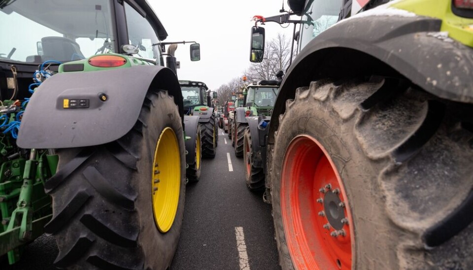
One of the main protest tactics used by farmers is the blocking of roads, including major motorways (autoroutes) with tractors and other machinery.
Other methods include convoys of tractors driving extremely slowly into towns and cities, leading to congestion on motorways and local roads.
Both can cause significant disruption across road networks.
Several real-time maps
While initial blockades can be hard to track – as they are often organised to surprise – it is possible to keep track of disruption once in place.
Motorway operators such as Vinci and Sanef provide live traffic maps.
These can show where a build-up of vehicles are present on motorway networks, although do not always give a reason why and in some cases information is limited to routes directly managed by the concessionaire.
Nationally, traffic watchdog Bison Futé has a live map showing traffic conditions across all major roads, including from blockades and protests.
It also shows the status of any works, as well as certain speed cameras, tolls etc, and is fully interactive, allowing visitors to click to access more information.
One downside is that with so much information the map can be hard to navigate, although concentrating searches to a particular area make it more manageable.
Local media also often provide updates through their websites. This is particularly effective when blockades are targeting departmental roads and may not gain national attention.
Finally, each department usually has its own live map of traffic conditions within its boundaries. You can find these online by searching ‘inforoute + [the departmental name or number]’.
These maps are managed at a department level so contain varying degrees of information, but in most cases provide at a minimum real-time overview of traffic conditions.