-
Neighbours take man to French court for playing same song over and over
Noise complaints are not uncommon in French towns and villages.
-
Where are the healthiest places to live in France?
New survey compares nearly 1,000 municipalities, west and south rank highest
-
Is the EU set to relax September’s strict EES implementation?
Nine countries, including France, have asked for greater flexibility
How long will northern France’s colder ‘autumn-like’ weather last?
Forecasters are today (August 1) warning of winds of up to 100km/h in the west
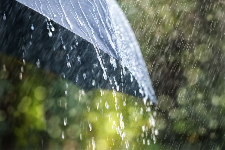
Cooler temperatures and rain are to persist in the north of France for another week, while unusually strong wind is expected in the west, state forecaster Météo France has warned.
Temperatures for the start of the month are expected to be “around five degrees lower than averages for the season” in many areas, the forecaster said, with cloud cover in the north.
Conditions are not expected to change until the end of the week.
This is due to several meteorological phenomena, including depressions that will block anticyclones from the south. Cold and humid air from the British Isles will add to this lower temperature and rainier conditions.
In its forecast for August 7 to 13, Météo France said: “In the northern half [of France], the start of the week still looks disrupted, before a gradual drying out of conditions. Temperatures will be a bit low for the season, but will then gradually approach the seasonal norms in the second part of the week.”
Up to and including August 7, temperatures will be lower than 20C in Paris (although it will also drop to under 25C in Bordeaux and less than 26C in Marseille).
The conditions have prompted many news outlets in the country to talk of a feeling of ‘autumn’, despite the start of August usually being seen as high summer. It is also another example of the country being ‘cut in half’ when it comes to weather, with much of the south still experiencing heatwave-like hot conditions.
Poor weather also has a marked impact on the economy of the regions affected. One restaurant manager in Calais told BFM Grand Littoral that his business takings during bad conditions are a third of what he would normally take during sunnier weather.
Florian Hortala, a Météo France forecaster, said: “This weather is remarkable for the season. Within the context of climate change…the variability of weather phenomena is expected to be more and more significant.”
‘Unusual wind for August’
In the meantime, strong wind is also forecast to hit the west of the country today and tomorrow (August 1 and 2). Gusts of up to 70-80km/h are expected in the north, rising to as much as 100-110km/h on the Channel coast.
Météo France forecaster François Jobard told local news outlet Ouest-France that this wind is “very unusual for the month of August”.
“Wind could reach 80km/h in the interior, and 100-110km/h on the coasts, which isn’t insignificant for August 2,” he said.
The gusts will reach the north of Brittany first, and gather speed on the Channel coasts. Such strong winds could topple trees and cause some damage to buildings, so residents are warned to take care when outdoors and especially when next to the sea, forecasters have said.
A Brittany meteorologist, Stéven Tual, warned: “We advise you to cancel all of your ‘pleasure’ activities [on the sea].”
#Météo #Bretagne #PhénomènesCôtiers En lien avec cette dépression, une houle d’ouest très marquée ( 3 à 6 mètres en Iroise) pour cette période de l’année va concerner les côtes bretonnes. Il est conseillé d’annuler toutes vos activités de plaisance.
Houle - ARPEGE pic.twitter.com/E5YFaWxLwz— Stéven Tual (@StevenTual_off) July 31, 2023
The poor weather is expected to improve as the month continues, however. So far, Météo France has said that from August 10, temperatures will hit 26C in Strasbourg, 27C in Nantes, 30C in Lyon, and 32C in Perpignan.
However, the strong wind could also hit the south of the country later in the month.
Read also
How bad is the drought in France? See restrictions in your department
French town’s drought ‘solution’: painting its dried-out grass green!


