-
Two people and five properties struck by lightning in northern France
Violent storms hit amid ongoing heatwave
-
France’s Constitutional Council validates cap on bank inheritance fees
Charges on settling estates to be capped at 1% of deceased’s assets
-
Heatwave in France: 35 red alerts raised, Monday to be even hotter
Extreme temperatures forecast to last through the week
Northern France placed on heightened alert for wind and rain
Incoming storms see over 20 departments face orange warnings
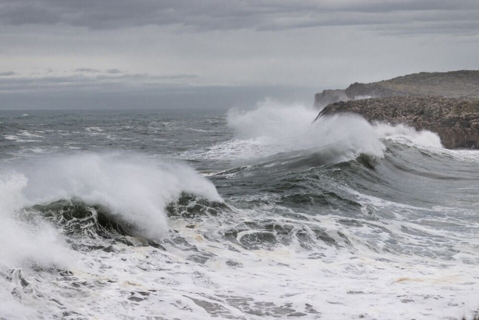
Heightened warnings for high wind and heavy rains have been raised in 21 departments in the north of France, set to come into effect tomorrow (February 22) morning.
Much of the country will also face tier-two yellow weather alerts for wind, rain, or avalanches, except in the far south around the Mediterranean.
Departments affected by the higher tier-three orange warnings are mostly located in Normandy, Hauts-de-France, and around the capital, but some in the west of France are also affected by heightened heavy rain alerts.
Gales of up to 120 km/h may be seen in the north, particularly close to the English Channel.
It comes as France’s mild spell is swept away by storms, which is also set to plummet temperatures over the course of next week.
There are 19 departments on heightened alert for winds tomorrow, which are:
- Manche
- Orne
- Calvados
- Eure
- Eure-et-Loire
- Yvelines
- Essonne
- Seine-Maritime
- Paris (plus its 3 neighbouring departments of Seine-Saint-Denis, Val-de-Marne and Hauts-de-Seine)
- Aisne
- Nord
- Pas-de-Calais
- Somme
- Oise
- Val d'Oise
- Seine-et-Marne
In the west of France, Vendée and Deux-Sévres are also facing tier-three warnings for heavy rain and flash flooding tomorrow, due to encroaching Atlantic storms.
You can find out full information on the official Météo France website. Note that this information is likely to change, either tonight or throughout the day tomorrow, as the weather events progress.
Related articles
What to do (and not do) during heavy rain and flood alerts in France


