-
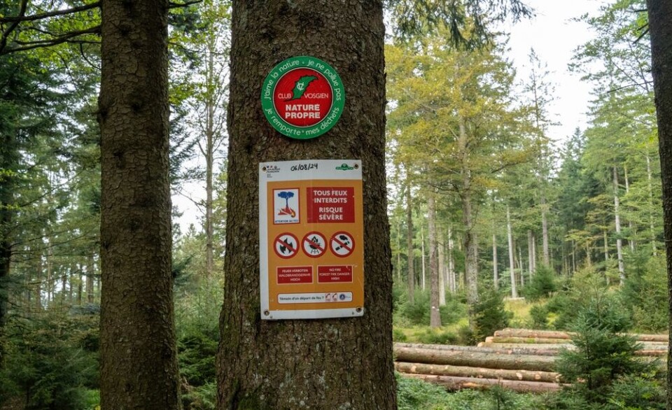
GR, GRP, PR: What do the French hiking signs mean?
What are the coloured symbols on French hiking routes? Who paints them there and why?
-
Miss France: glam - but not sexy
Miss France organiser Geneviève de Fontenay fears she is fighting a losing battle to protect her 'Cinderella dream' from vulgarity
-
Normandy Landings visit for Queen
Queen Elizabeth has confirmed a state visit to France, ending rumours she is handing over duties to Charles
Var residents on orange alert
Hérault gets some respite as rains stop but Aude and Pyrénées-Orientales still face rainfall of up to 8cm
RESIDENTS in Var have been warned about thunderstorms approaching from the south-west with up to 10cm of rainfall expected this evening and tonight.
Forecasters at Météo France have put the department on orange alert after the red alert yesterday for Hérault that saw major flood damage caused by storms that inundated Montpellier and surrounding areas with 30cm of rain in a few hours.
The Var alert, which is particularly aimed at the south of the department, comes as a depression that was stable over the Balearics moves north. It risks developing thunderstorms which could remain in position for considerable periods. Overnight the storms are expected to veer towards Italy and Corsica.
As the clearing up continues in Hérault the department has now been given the all-clear for storms but is still on orange alert for floods from swollen rivers and land that is already saturated. The worst affected areas in Hérault were in an arc from Agde south of Montpellier to just above the Etang de Thau as warm air from the Mediterranean met cold air from the Cévennes.
Aude and Pyrénées-Orientales are still on orange alert, with higher areas possibly seeing rains of up to 8cm falling this evening.
To see where the worst of the weather is heading, check the Météo France rainfall radar here


