-
EU-wide €3 tax on cheap parcels comes into force
France scraps own version of tax leading to equality across bloc
-
Drivers in France bring legal case over ‘phantom braking’
‘My car suddenly stopped on motorway at 100km/h’
-
1,600 drones to light up Paris on July 13 Fête nationale show
The event is brought forward a day due to national tributes for the 2016 Nice attack victims
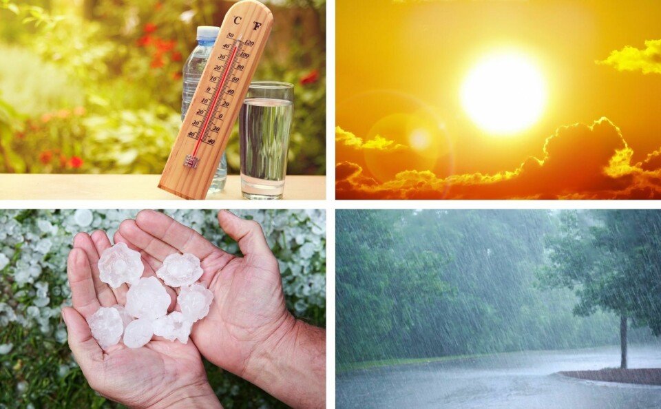
12 French departments still on orange warning for heatwave and storms
Parts of South-West France were already battered by hail storms yesterday (June 20)
[Update June 21 at 12:40 - The storm alert has now been extended to Ariège, Aude, Aveyron, Charente, Charente-Maritime, Creuse, Dordogne, Haute-Garonne, Gironde, Landes, Lozère, Deux-Sèvres, Tarn, Vienne et Haute-Vienne as well.]
A total of 12 departments in Central-Eastern France are still under orange weather alerts relating to the current heatwave and/or to a risk of violent storms today (June 21).
🔶 12 dpts en #vigilanceOrange
— VigiMétéoFrance (@VigiMeteoFrance) June 21, 2022
Restez informés sur https://t.co/rJ24zzmmy4 pic.twitter.com/JodruYcXqF
National weather forecasting service Météo France states that Ain, Allier, Drôme, Isère, Jura, Loire, Haute-Loire, Puy-de-Dôme, Rhône and Saône-et-Loire are still within a canicule heatwave, meaning that it has been very hot in the day, with temperatures remaining high at night, for a period of three days or more.
“At the end of last night, temperatures were still high all along the Rhône valley,” Météo France said, adding that it was “22C around Lyon and in the west of Ain. We recorded [temperatures of] 21C in Grenoble and 20C in Saint-Etienne as well.”
In the departments affected by the alert, maximum temperatures are expected to reach 33-37C today.
From 16:00, Ain, Allier, Cantal, Doubs, Haute-Loire, Jura, Loire, Puy-de-Dôme, Rhône, and Saône-et-Loire will also be under orange storm alert, which will last until 03:00 tomorrow morning (June 22) at least.
“The storm system will begin towards the Massif Central around 16:00,” Météo France states, adding that it is likely to bring lightning, hail storms, 30-50mm of rain and wind gusts of 80-100km/h.
A further 66 departments are also on yellow alert for storms, meaning that all but the far North West and South East of France are affected by a weather warning of some sort today.
Do I need to do anything?
Residents in the departments included in Météo France’s storm warning should keep away from bodies of water, shelter within buildings with a solid structure, secure possessions which could be blown or carried away by wind or floodwater, and avoid going out.
Those in areas affected by the heatwave should make sure to drink water several times a day, continue to eat normally, avoid going out in peak heatwave hours and limit physical activity.
If you do need to go out, you are advised to wear light clothing and a sun hat.
If you are suffering from the heat, it may help to wet your skin a few times a day, or to take a bath or shower in tepid water.
You should close your shutters and curtains during the day and keep the windows open at night.
Make sure to check on elderly or sick relatives and friends, and take them to a cool, airy place if possible.
You can find additional advice on the health ministry website or on Météo France.
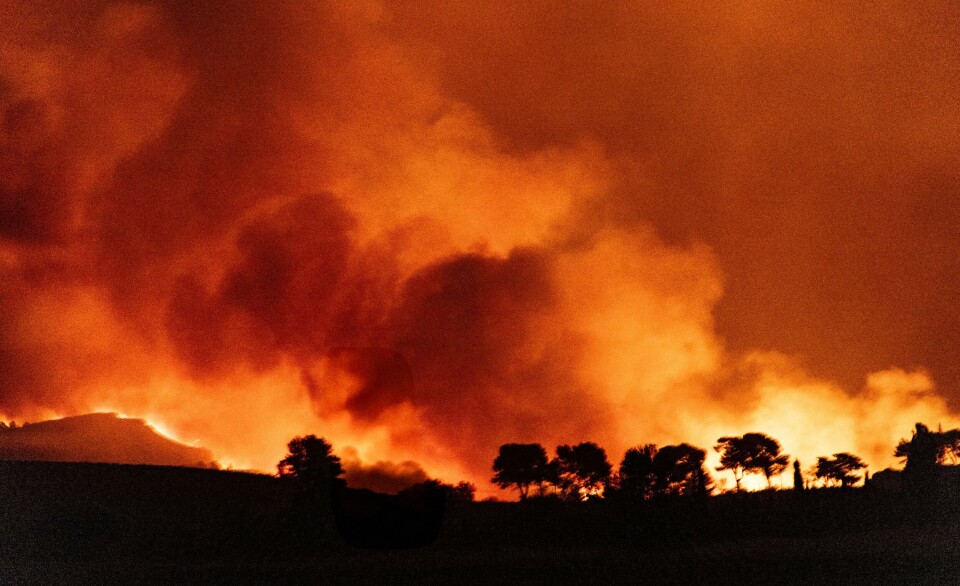
Storms hit Southwestern France
This comes after 21 departments were already placed under storm warnings last night (June 20), as Gironde, Charente-Maritime, Landes and Pyrénées-Atlantiques especially were affected by hail storms.
Énorme grêlons en Béarn ce soir 📷 @le64.orageux pic.twitter.com/RjQg29CZhN
— Météo Pyrénées (@Meteo_Pyrenees) June 20, 2022
In Gironde, fire and rescue services were called out to around 200 incidents, primarily regarding fallen cables and trees, damaged roofs and floods.
In Bordeaux, winds of up to 105km/h were recorded, and more than 50mm of rain fell in Clion (Charente-Maritime).
⛈ Un très violent orage de grêle a circulé au nord de Bordeaux ! Images impressionnantes depuis la commune d'Ambès ce lundi soir. (© Marcel Lesoille) pic.twitter.com/Z9EyCj1IQl
— Météo Express (@MeteoExpress) June 20, 2022
No one was hurt, but the storm episode struck another blow to farmers in the region, who have already been affected by several extreme weather events in recent months.
Agroclimatologist Serge Zaka tweeted: “After having suffered a late freezing episode (in April), drought (from January), [crop] dehydration (in May), hail (at the beginning of June) and the heatwave (in mid-June), farmers are going to go through another hail episode.”
Je résume. Après avoir subit le gel tardif (avril), la sécheresse (janvier à en cours), l'echaudage (mai), la grêle (début juin), la canicule (mi-juin). Les agriculteurs vont subir un nouvel épisode marqué de grêle.
— Dr. Serge Zaka (Dr. Zarge) (@SergeZaka) June 20, 2022
Les dégâts sont déjà constatés dans le Loiret.
📸COPA SAS pic.twitter.com/61ZCLCCEkB
Related articles
Heatwave in France: Ten places where records for June have been beaten