-
Swimming pool boom in France helped by fuel crisis
France leads Europe as the number of private pools reaches 3.7 million
-
Amazon says €15 billion France expansion will create 7,000 new jobs
US e-commerce giant plans to build four new sites in the country over the next three years
-
French passport queue rules not being applied consistently
French residency card holders share their passport queue experiences
MAP: Where are France’s most and least densely forested departments?
French forests cover around 13% of the European wooded area, with famous woodlands including Iraty and Brocéliande
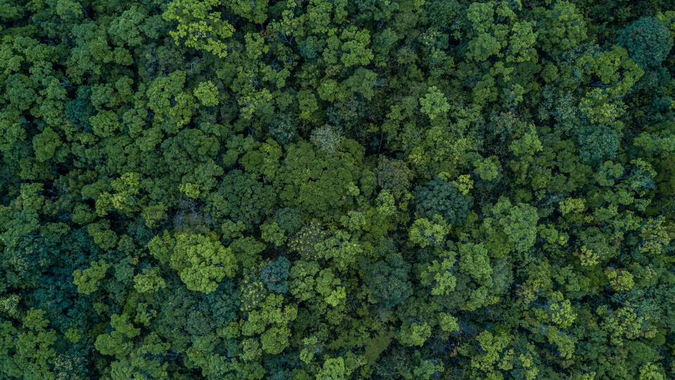
France is the 71st most forested country in the world, meaning that 31% of its metropolitan surface area is covered by trees.
This makes it more heavily wooded than neighbouring countries including Italy, the UK, Germany, Switzerland and Belgium, its forests covering 13% of the European wooded area.
The only European countries which have a greater proportion of land covered by woodland are Finland, Sweden and Spain, The Economist reports.
Famous French woodlands include the Irati Forest in the Basque Country, which contains a mixture of beech and fir trees covering 17,300 hectares in France and Spain, and the ancient Forest of Tronçais in Auvergne, where over 100 Roman habitations have been discovered.
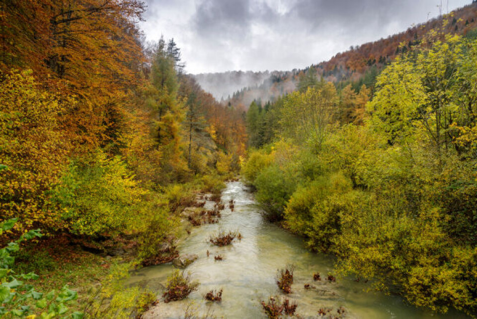
The Irati Forest is one of the largest in France. Credit: Carlos Bruzos Valin / Shutterstock
There is also the mystical Brocéliande Forest in Brittany, which is said to house some of the key sites of the Arthurian legend in French tradition, including the Valley of No Return and the Giant’s Tomb.
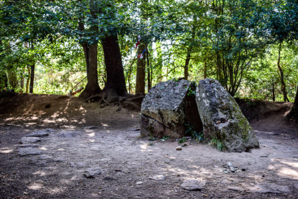
A site said to be Merlin’s tomb situated within the Brocéliande Forest. Credit: Mikisa studio / Shutterstock
French forests vary depending on the region’s climate and geography, with the Atlantic coast housing deciduous trees like oaks, birches and beeches, Mediterranean woodlands comprising evergreen trees and conifers, and mountainous areas favouring conifers.
We take a look at the areas of France with the densest expanses of woodland, as well as those which have the least forest coverage.
France’s most heavily forested departments
The department where the largest proportion of land is covered by forest is actually the overseas territory of French Guiana, where 83,000km² is tropical rainforest, equating to 99% of the total surface area.
After French Guiana come:
- Corse-du-Sud: 67%
- Landes: 61.7%
- Var: 58.3%
- (Reunion Island: 53%)
- Alpes-Maritimes: 52.3%
- Haute-Corse: 50%
- Alpes-de-Haute-Provence: 49.1%
- Vosges: 47.7%
- Gironde: 47.6%
- Ardèche: 45.4%
France’s least heavily forested departments
Down at the bottom of the list, France’s least heavily forested departments are:
- Manche: 4.4%
- Vendée: 5.2%
- Mayenne: 6.8%
- Pas-de-Calais: 6.9%
- Nord: 7.7%
- Loire-Atlantique: 8.1%
- Deux-Sèvres: 8.1%
- Calvados: 8.2%
- Ille-et-Vilaine: 8.3%
- Somme: 9%
These maps have been created according to the latest data available, from 2021.
In Ancient Times, 75% of Gaul – the territory corresponding to modern-day France, Belgium, Luxembourg and most of Switzerland – was covered in forest, but by the beginning of the 1800s, only 15% of France was wooded.
As a result of reforestation efforts, coverage has now crept back up over 30%.
Forests absorb an estimated 50 million tonnes of CO2 each year across the country.
Related articles
The legend of the ‘dahu’: the French mountain goat that does not exist
French town gives residents trees to add greenery to the local area
Video: New signs of brown bear antics in the French Pyrenees


