
-
France fuel shortages: the situation department by department
Significant shortages persist in Ariège, Indre-et-Loire and Puy-de-Dôme among others
-
EES: Lack of equipment stalls checks for cross-Channel travellers
Biometric data collection will not start for most ferry or Eurostar passengers despite EU deadline
-
Family honours daughter’s memory with book donations to French schools
Hannah Jones, who died in a road collision, has inspired art and a charity
What can we expect from the heatwave about to hit France?
The hot temperatures are due to a so-called ‘plume of heat’, say experts. Early heatwaves, like this one, are expected to become more common in future years
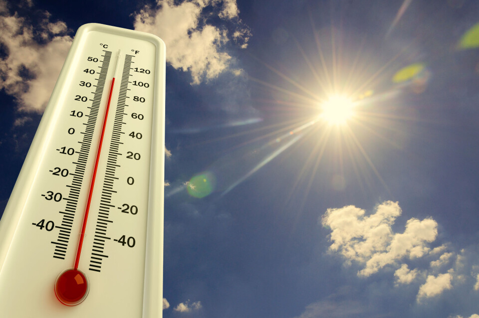
Record-breaking temperatures for June are set to hit France in the coming days, as a ‘plume of heat’ brings hot air from across the planet.
Temperatures are set to hover upwards of 30C and even 40C in much of the south, with forecasters dubbing the heatwave the earliest ever since records began.
Read more: Early heatwave up to 40C set to arrive in France
Up to 40C are expected in Pays de la Loire, the Centre-Val de Loire region and Nouvelle-Aquitaine as well as in the southeast.
May already saw exceptional temperatures for the season, with 38 consecutive days above seasonal averages.
Read more: Do May's high temperatures indicate a hot summer ahead?
Interior Minister Gérald Darmanin has warned that “elderly people, children, outdoor workers or those with intense physical activity and people in very precarious social situations, especially the homeless" are at particular risk.
He said that the government will seek to offer cooler zones, especially in cities, and raise awareness of the dangers among vulnerable people and their carers.
Students who are set to sit their professional baccalaureate exams will also be offered extra support in terms of air conditioning and medical services on standby in case of excess heat, the Education Ministry said.
Record-breaking heat
Advertisement
Heat records for the month of June include the absolute peak of 46C in Vérargues, Hérault, in 2019, at the end of the month (June 28). Before that, there were records broken for June 18-22, in 2017.
Experts have said that these out-of-the-ordinary temperatures are due to a weather phenomenon known as a ‘plume of heat’, in which hot air is transported to Europe from north Africa.
Serge Zaka, a climatologist at ITK, told BFMTV: "It's a very narrow upswelling of warm air that usually affects one or two countries. This is what will happen over France and Spain from the middle of the week.
“The southwest of France is particularly affected, as the latest modelling outputs show between 40C and 42C over the whole of the Atlantic arc, which is extremely considerable for mid-June.”
The heat plume has been created partly due to a cold front off the coast of Portugal, which acts as a ‘heat pump’, as winds rotate around it in an anti-clockwise direction, bringing up hot air from northern Africa and the Iberian peninsula.
Temperatures in Spain have already reached up to 42C, especially in Seville.
However, the ‘plume of heat’ should not be confused with the ‘heat dome’, another weather phenomenon that affected France last year, and also caused a sharp rise in temperatures.
A ‘heat dome’ is more fixed, explained Marc Hay, BFMTV's weather expert. He said: “Here, [with a heat plume] the situation is not fixed, things are not static. We can see it moving across France.”
Les particules empruntent ttes un même chemin tel un entonnoir & remontent du Sud Espagne/Maghreb vers le Nord.
— Christophe Cassou (@cassouman40) June 12, 2022
Il s'agit d'une #PlumeDeChaleur #HeatPlume bien visible sur l'animation de la température a ~1500m d'altitude avec cette poussée de Sud très typique/classique
4/.. pic.twitter.com/N9YwKImeUM
Will such early heatwaves become normal?
Météo France has warned that such early heatwaves could become more and more frequent.
Since 1947, there have been 43 official heatwaves recorded, Météo France said, noting that there have been three times as many in the last 30 years as in the previous 42.
June heatwaves have all been in recent years: 2015, 2017 and 2019 were marked by high temperatures at the beginning of the summer, and the situation is set to continue in future.
On Twitter, a researcher at scientific organisation CNRS, Christophe Cassou, said that it was "extremely likely" that human activity is "the main factor contributing to the observed increase in the intensity and frequency of warm extremes".
He said: “We are experiencing a foretaste of our climate future. If the exception is not to become the norm, we must reduce our greenhouse gas emissions immediately, over time and in all sectors. Not in three years, now!”
The high heat also adds to the risk of forest fires, with drought and fire warnings already in place across much of the country.
What qualifies as a heatwave in France?
In France, meteorologists will declare a canicule heatwave if temperatures exceed expected levels for the time of year during the day and stay high at night for a period of at least three consecutive days or more.
The temperature thresholds depend on the region. Paris would be classed as being in the midst of a canicule if the temperature is higher than 31C during the day and 21C at night for more than three days, but in Marseille this label would only be applied for highs of 36C and 24C.
Another reason for the lack of fixed canicule temperatures is that certain meteorological conditions can make the air feel hotter and more humid than it actually is, increasing the effect on the general public.
Meteorologists will define this particular episode as a canicule if temperatures remain at or above 35C in the day and 20C at night for three days in a row.
Related articles
Temperatures of up to 34C expected today in France
May temperature records could be broken in France next week
Water restrictions in place: how bad is the drought risk in France?


