-
Parliament debates if workers in France should be able to work on May 1
Labour Day protections are a particularly sensitive issue in France
-
New outbreak of electric ants in the south of France sparks concern
Authorities fear the emergency of a supercolony of the invasive species in Var
-
Weekend congestion expected as France lifts fuel tanker ban
Disruptions predicted in south-east France as school holiday traffic and HGVs take to the roads
Rain to continue across France with up to 200 mms in parts of south
Four people were killed during an avalanche over the weekend, bringing death toll from storm Louis and recent weather patterns to five
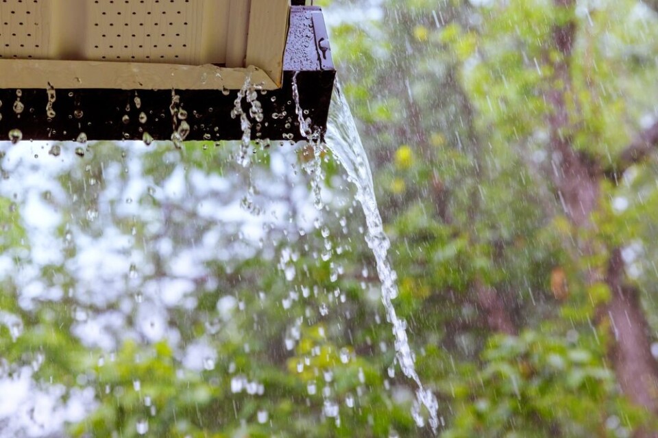
France’s unstable weather is to continue over the coming days, with rainfall and strong winds affecting much of the country.
Five departments, up from the original two, are now on a heightened tier-three warning for river flooding.
These are Pas-de-Calais, Gironde, Charente, Charente-Maritime, and the Dordogne.
Rain will continue to fall in the south until Tuesday (February 27) evening, after which a temporary end is expected to coincide with strong winds.
The period of intense rain will see around 150mm hit departments in the south-west – up to 200mm locally – and between 100mm to 150mm across other parts of the south including the Alpes-Maritimes department. In rural areas, this may be even higher.
On Wednesday, most of the country except the far south-east should remain dry before another barrage of Atlantic clouds brings rain to the west on Thursday.
This will initially impact Brittany and parts of the south-west before moving inland to hit virtually all of the country on Friday.
It follows the passage of storm Louis over the weekend with weather conditions now causing at least five deaths, including a party of four skiers killed by an avalanche at the Mont-Dore (Puy-de-Dôme) resort on Sunday (February 25).
Three other people are still missing, although mountain rescue services did find two people initially unaccounted for after the avalanche hit.
The four skiers who died were on a guided tour around the Val d'Enfer section of the resort. Local authorities have opened an inquest.
A 52-year old was killed when his car was swept into the currents of a river in Deux-Sèvres.
Read more: One death and thousands without electricity after storms in France
Unstable week ahead
Despite the worst of Storm Louis passing, the south is still feeling the effects of rainfall.
In addition, winds of just over 100 km/h were recorded in coastal Brittany this morning, but otherwise the north of France is experiencing a brief spell of dry, seasonal weather.
In the south-east, a near incessant rainfall will see areas around the Italian border, including the Mercantour national park, see high levels of cumulative rainfall.
⚠️ Prudence si vous êtes dans les #AlpesMaritimes où un épisode de fortes #pluies💦 s'installe ce soir jusqu'à mardi. Les cumuls pourront dépasser les 100 à 150 mm (équivalent d'1 à 2 mois de précipitations), laissant craindre des #inondations. Fortes pluies aussi en Corse. pic.twitter.com/jzTL4RrGln
— La Chaîne Météo (@lachainemeteo) February 25, 2024
However, as the week progresses, the intensity of the rain will lower, even if strong coastal winds remain, until it picks up again on Friday.
In the south-west, rainfall will be less intense but more consistent across the week, leading to a higher overall level of rain.
The area, as well as Brittany, will also face the brunt of the next wave of Atlantic storms set to hit France between Thursday (February 29) and Friday (March 1).
Rain and gales will continue into the weekend, potentially well into next week.
Read more: Storms in France: what to do if at home, out walking or in car
Alongside those on a heightened alert, a number of other departments are on tier-two warnings, for winds, stormy weather, heavy rainfall/flash flooding, waves, icy road conditions, and avalanches.
You can find the warnings on the official Météo France website, and keep informed above river flooding warnings on the Vigicrues website. Note that during periods of intense weather, warning levels are likely to change frequently.


