-
Storm warning: 44 French departments placed on alert
Dramatic change in weather expected this weekend following sunny spell
-
Private medical laboratories to strike from May 4
Industrial action will not impact hospital labs but may delay non-urgent tests
-
TotalEnergies extends fuel price cap and announces special offer on diesel in France
Drivers can expect to pay a maximum of €1.99 per litre for petrol and €2.25 per litre for diesel this month
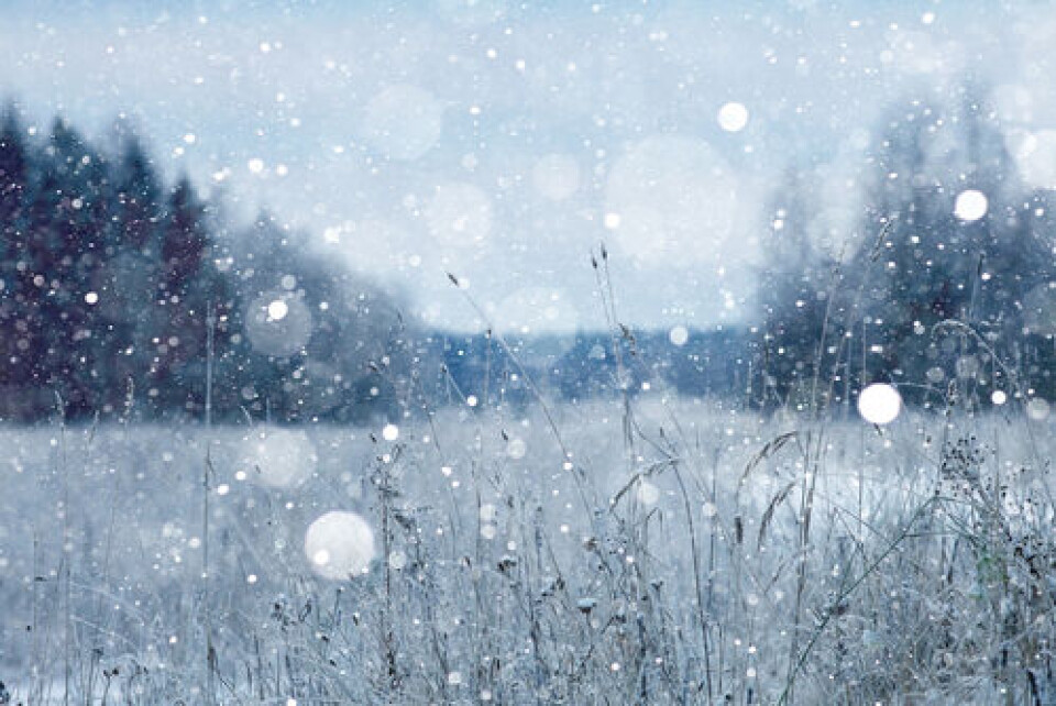
Colder weather on way, snow expected in south of France next week
Some areas will see temperatures drop by 10 degrees in three days

Colder weather and rain are expected to return to France after weeks of warmer than usual temperatures and a national lack of rainfall.
Some snow is forecast early next week for areas of the south including Toulouse and Montpellier.
Rain is forecast this afternoon in most of central and western France, the north east and parts of the south.
This trend is expected to continue from Sunday (February 24) onwards into early next week with temperatures generally below seasonal averages.
🥶Un flux continental de nouveau plus #froid va se mettre en place dans les prochains jours sur la #France, apportant une nouvelle baisse des températures et le retour de #gelées nocturnes généralisées.
— Guillaume Séchet (@Meteovilles) February 23, 2023
Plus d'infos dans notre article >> https://t.co/SbCllskaCG pic.twitter.com/cbseUC6Rkr
Over the weekend and into Monday, some areas are expected to see temperatures drop by 10 degrees. This will be the case in Belfort (Bourgogne-Franche-Comté) which is predicted to see a drop from 12 to 1C and in Vichy (Auvergne-Rhône-Alpes) with a fall from 12 to 2C.
Snow is expected in the south early next week, including in the cities of Toulouse and Carcassonne and even Montpellier.
Local forecaster Météo Languedoc said that the cold is due to a so-called “polar release” that will come to rest over Scandinavia and Europe.
It said: “The cold, continental air will be over France from Sunday, and will cover the country on Monday with a risk of snow on the plains near the Mediterranean.”
Une descente d'air froid va se produire pour la fin de l'hiver météorologique. Une goutte froide va se détacher du bloc continental froid.
— Keraunos (@KeraunosObs) February 23, 2023
Risque de #neige à très basse altitude sur un grand quart sud-est entre dimanche et mardi. pic.twitter.com/iMooG35ESq
The snow is expected to last for around two days depending on how quickly the temperature warms up.
Ski stations may be happy as snow levels have been very low in recent weeks.
Temperatures are then forecast to rise around four degrees higher than normal for the season in the days after the snowfall.
No relief for drought
However, the amount of snow is still not expected to be enough to ease the drought conditions across most of the country.
It comes as water restrictions are set to be introduced due to the chronic lack of rain in 2023 so far, and climate experts said that the year was set to be ‘very dry’.
Earlier this week, Ecology Minister Christophe Béchu said in an interview that “France is in a state of alert”.
Parts of the country have had no significant rainfall for 31 days, at a time when usually the groundwater supplies should be being replenished ready for the hotter months ahead.
Related articles
Drought in France: 2023 set to be ‘very dry year’ and it starts now
Warmer weather brings early pollen allergy alerts for most of France


