






-
Dozens more local bank branches set to close across France
Around 60 to 90 LCL French branches will shut down gradually, the bank confirmed
-
Chevaline murders: Investigators hope to stage reenactment of 2012 attack with surviving sisters
Cold case remains unsolved after 14 years
-
European Heritage Days 2026: ideas for visits in France
Over 28,000 events are set to host visitors for free on September 19 and 20
How does France's wildfire risk map work?
The map aims to give advance warning of the areas of France most susceptible to forest fires
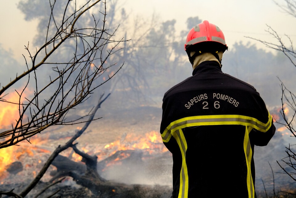
A daily forest fire risk map is available in France during the summer months which gives updates on areas of the country most susceptible to blazes.
Designed to be used by both the emergency services and the wider public, it is updated around 17:00 each day between June and September.
For those located where risks are highest, the advance warning will allow emergency services to better deploy firefighting forces and alert residents to the risk of a potential fire.
Where can I find the map, and how does it work?
The map is available through state forecaster Météo France.
It is found on the 'météo des forêts' section of its website, or through the forecaster's smartphone application.
It gives information on a departmental level for all of mainland France and Corsica, giving the risk of forest fires over the next 48 hours (or two calendar days).
It uses the same tiered warning system as the site’s weather map, with four levels of danger shown.
Green represents a “low” risk of fires in the department, yellow “moderate”, orange “high”, and red “very high”.
Criteria including wind levels, vegetation in the area, and humidity (among others) are analysed to determine the risk levels in each department.
The website also offers general advice on how to reduce the risk of forest fires and best practices in the event of a blaze.
In addition, there is the unofficial 'feux de forêt' website, that provides a live and interactive map of current and recent fires.
It shows the status of a blaze and clicking on the area where a fire was signalled shows additional information such as the size of the fire, location or origin, and conditions in the area.


