-
La Voie Bleue: European Cycle Route of the Year is in France
700km bike path linking Luxembourg and Lyon has been crowned winner of the 2026 title
-
Before and after: Garonne river floods in south-west France
Satellite images show extent of flooding from back-to-back storms in February
-
Home insurance increases expected in France after floods
Compensation costs for the recent storms and flooding across the west and south-west is estimated to be in the billions of euros
MAP: See level of pesticide use in your area of France
A new interactive map enables people to view the types and amounts of pesticides used around their commune as well as the proportion of local organic farms

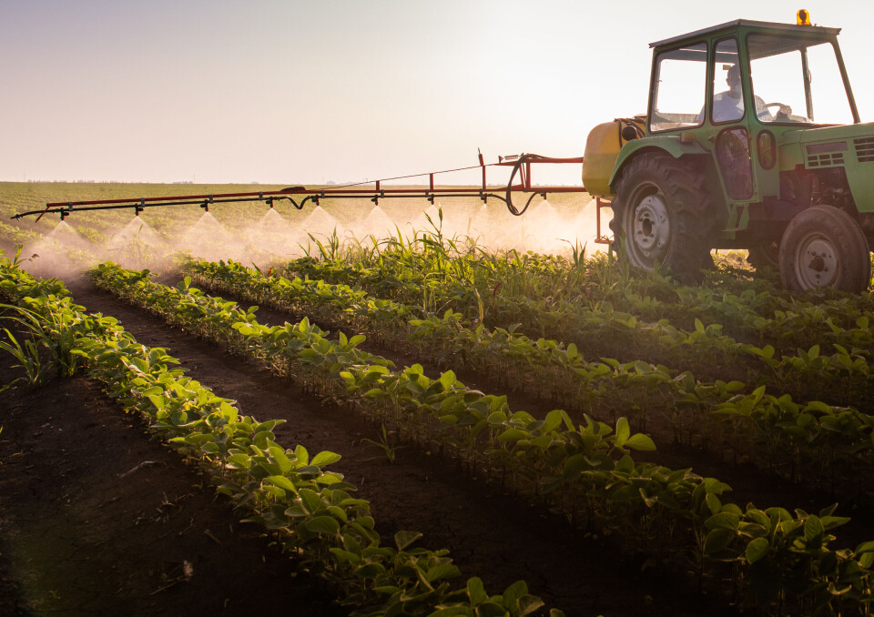
People in France can now find out the extent to which pesticides are used by farms near where they live.
The interactive map - the first of its kind - has been created by an agroecological organisation called Solagro, and named Adonis after a type of flowering plant which has largely been eradicated because of herbicides.
The map enables residents to zoom in on their commune and view the frequency of pesticide use, as well as the types of treatment being used.
For each location, there is an indicator of frequency of treatment (IFT) from 0 to 18.48, an IFT for herbicides ranging between 0 and 2.55, an IFT for biocontrol products and information on the crop found most commonly in the area.
There is also an indication of the proportion of organic farms in the area.
Read more: France one of EU’s worst culprits for pesticide-grown fruit and veg
If the commune is highlighted in dark red, it means that there is a high use of pesticides in the area. If it is green, however, very few products are used there.
On a national level, the farming areas with the highest pesticide use are in the north of France, the vineyards of the south west and in zones given over to orchards.
In these places, according to Solagro, there is a “lack of crop rotation” and “more intensive agricultural practices”.
Green areas are generally situated “in the mountains and coastal wetlands, where polyculture systems dominate with a strong presence of grassy patches which are not treated.”
“The ultimate goal is to push the 10 million hectares currently on red into green,” said Solagro’s agro-ecology-biodiversity project lead, Aurélien Chayre.
“This map will be able to act as a guidance tool for farmers and for the management of public policy on a local, regional and even national level,” said Nadine Lauvergeat of environmental association Générations futures.
To put the map together, Solagro used data from the 2020 Registre parcellaire graphique land register.
Food company Ecotone has also collaborated with Solagro to create an Indice des pesticides évités (IPE) register which will enable food production firms to easily measure their pesticide footprint and find ways to reduce it.
“With this index, we are calling for farming professionals to step up to this challenge and take responsibility,” said Ecotone president Christophe Barnouin.
Ecotone has said that its index and other activities have helped to save 90,000 hectares from 304,609 chemical treatments in 2021.
Related articles
French environment news: tree valuations, wonky veg, pesticides in tea
Should farmers in France warn locals before spraying pesticides?


