-
How to avoid unsafe eclipse glasses before France's August 12 solar eclipse
Seeing a solar eclipse without proper protection can permanently damage your eyes
-
French homeowners issue warning after €37,000 roof repair deposit dispute
The couple’s experience is a reminder of the precautions homeowners should take before starting renovation work in France
-
Controversial police shootings bill advances in France
Petition against law racks up more than 700,000 signatures
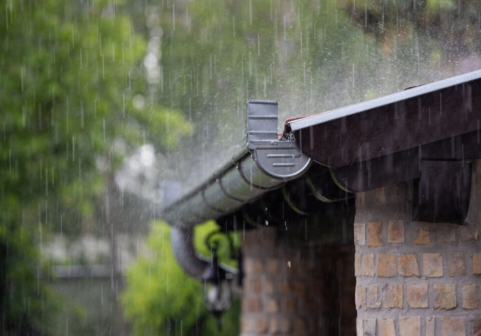
Weekend snow, flood, and heavy rain warnings in south-east France
Two weeks of rainfall predicted in a few days in some areas
[Update 8/03 at 16.30: Météo-France has now issued orange alerts (stay ‘extremely vigilant’) for the Alpes-Maritimes, Var and Ardèche for risk of rain today and flooding tomorrow]
The south of France is bracing itself for another weekend of intense weather, with heavy rain, strong gales, and snow expected.
A phenomenon known as the épisode cévenol will hit departments in Occitanie and Provence-Alpes-Côte-d'Azur starting from late Friday (March 8) morning.
Gales of up to 100 km/h are expected – potentially 120 km/h in some valleys and coastal areas – and rainfall will hit the Cévennes throughout the day in short intense bursts.
Up to 10 mm per hour will fall on Friday across the mountain range, and overall rainfall throughout the weekend may reach over 100 mm.
This equals more than two weeks worth of rain in three days.
The rain and gales will begin to be felt in the south-east around Nice by Friday evening, continuing into Saturday.
In areas 1,200 m above sea level, snow will begin to fall, mixing with rainfall. At higher altitudes in the Alps and Pyrénées, there will be snowfall.
Cette fin de semaine et ce week-end, un nouvel épisode d'intempéries touchera le sud-est avec #vent fort, fortes #pluies, abondantes chutes de #neige, risque d'#avalanche et risque de submersion. Un communiqué sera émis dès 12h ❄️⚠️🌧️💨 pic.twitter.com/Jd47uGmhaI
— La Chaîne Météo (@lachainemeteo) March 7, 2024
Last weekend saw a similar pattern, with intense rainfall in the south-east around Nice, and heavy snow in France’s two main mountain ranges.
Read more: SEE: Metre of snow in Pyrénées and floods hit south-east France
There are some concerns of flooding in the Alpes-Maritimes and Var departments, with soils already saturated from last week’s storms.
La Chaîne Météo (owned by Le Figaro) warns of mudslides and flooding in low-lying areas due to run-off water from the hillier backcountry.
Read more: What to do (and not do) during heavy rain and flood alerts in France
Calmer end to the weekend
Sunday (March 10) should see most rainfall stop in the south-east, although some showers may continue to fall locally, particularly in coastal areas.
Snow will still fall in Alpine altitudes of 1,100 metres and higher.
In Perpignan and Montpellier, storms are set to move inland from Sunday evening, although the rain is not expected to be as severe as at the beginning of the weekend.
Elsewhere, the north of France will see showers throughout the weekend, and in the south-west some stormy weather from the Atlantic will pass through.
Currently only one department is facing a tier-three orange weather warning.
Charente-Maritime is still on alert for river flooding risks after heavy rains last week.
Elsewhere, around half of France’s departments, mostly in the south, are facing tier-two yellow warnings on both today and Saturday.
Many of these are for high river levels, a leftover from heavy rainfall at the end of February, with river levels not yet returning to average levels.
You can keep up to date with all the weather warnings on the official Météo France website.
Related articles
What action is advised with different Météo France weather warnings
Mini tornado lifts up car and flips it over in south-west France


