What is the weather forecast for the long Pentecost weekend (for some) in France
Only the southern coast is expected to remain dry this weekend
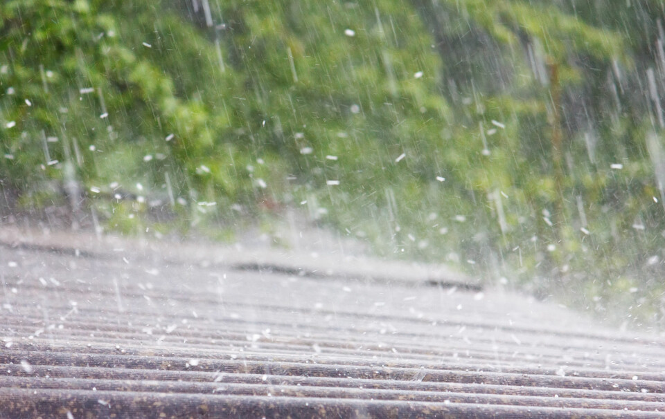
Rain is forecast almost everywhere this weekend, although will mostly fall as scattered showers. Lots of sunshine is expected at the end of the weekend and start of next week
Georgii Shipin/Shutterstock
A rainy weekend is in store for many in France. In fact the Mediterranean coastline will be the only area to stay free of rain or cloudy skies, however conditions are set to improve by Whit Monday for those that have the day off on this confusing bank holiday.
Friday June 6
Rain in the north, east, and centre of France is likely to start early in the morning and fall intermittently throughout the day.
An early spell of rain in the south-west will disperse by the afternoon, leaving the coast and Pyrénées dry although cloudy.
Storms are again predicted in the east of France and are set to bring hail once more to areas along the Loire river.
Several departments are facing a heightened tier-three alert by state forecaster Météo France.
These are subject to change as the conditions progress however.
The southern coast will remain free of rain and with only limited cloud coverage, but will not be the warmest area of the country.
Highs of 24C along the coast will be outmatched by those closer to 28C/30C along the Rhône Valley despite the risk of nearby storms.
In the north, highs of between 16C and 20C are likely, rising to 18C to 22C in the south-west.
Saturday June 7
The southern coast will continue to remain free of rain, although all areas north of the Massif Central are likely to see showers and drizzle at some point throughout the day.
Up to the Loire river, these will mostly be scattered showers, although in the east further storms are possible, as are brief scattered storms in the Pyrénées and Alps.
Heightened storm alerts for the area are currently set to be lifted early on Saturday morning – related to the storms hitting the area on Friday night – although storms less intense than on Friday could still impact the same areas throughout the afternoon.
North of the Loire, rain is expected to be more consistent and fall with a greater intensity, with strong winds forecast along the English Channel.
Some coastal areas may see temperatures of only 15C or so, but most other areas north of the Loire will reach around 20C.
In the south, this rises to between 25C and 28C.
Sunday June 8
Conditions for Sunday are still largely uncertain and depend on the progression of Saturday’s cloud patterns.
Showers are expected in the east, and likely in the north and along the English Channel early in the morning.
Areas between the Loire and the Mediterranean may see showers – including in the south-west up to the Spanish border – but if they do are likely to be sparse and weak.
If showers do fall, they will do so between periods of sunshine, with little cloud coverage expected.
The Mediterranean coastline will remain sunny throughout the weekend.
Temperatures will be mostly similar to the day before despite the more prominent sunshine.
Monday June 9
Foresters agree that Monday is likely to be dry and calm across the country, with the south in particular sunny and warm. Highs of 31C are possible along the Mediterranean.