-
Two hantavirus contact cases in isolation at Bordeaux hospital
Authorities hopeful that virus has not mutated, easing pandemic fears
-
Speed cameras: French mayors can soon install more
Mayors will have the authority to do so…but at their commune’s own expense
-
1,700 confined on cruise ship in Bordeaux amidst gastroenteritis fears
Briton in his nineties died on board from illness
Hot weather and storms expected in France today
Météo France has placed 41 departments under a yellow weather alert with hail and heavy rainfall predicted for several areas
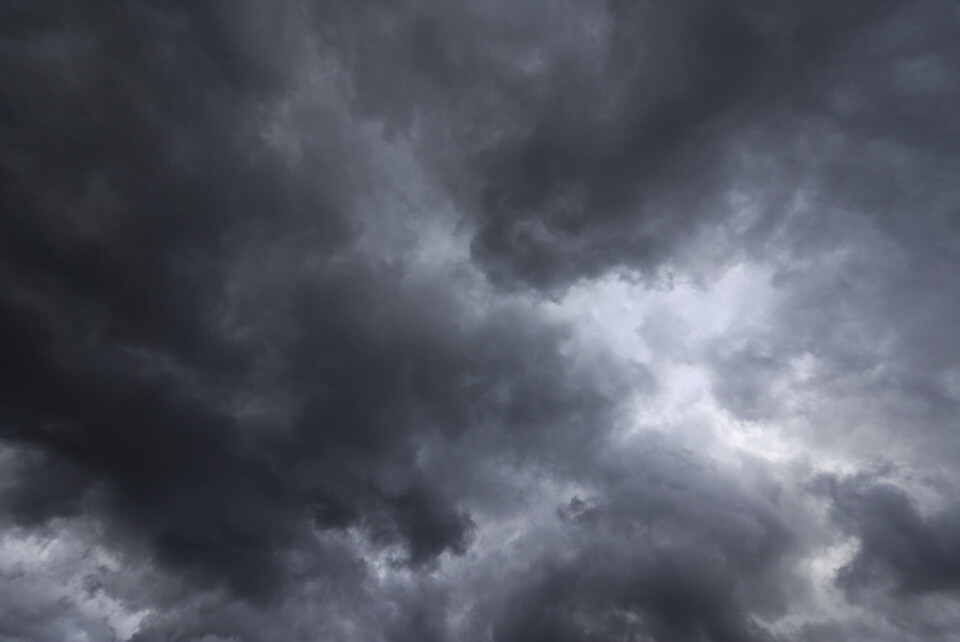
France is set to see hot weather and storms today (August 29), especially in southwestern regions, and Météo France has placed nearly half of the country under a yellow weather alert.
The stormy weather is expected to arrive this afternoon, between 16:00 and 18:00.
Forecasters predict heavy rainfall, winds of 90-100km/h and hail showers, which will sweep across Aquitaine and towards the Midi-Pyrénées around Toulouse between 18:00 and 00:00.
Some 41 departments in Brittany, Nouvelle Aquitaine and Occitanie are under a yellow storm alert. You can find out more about this on the Météo France website.
A yellow alert calls for residents to be vigilant to the evolving situation but does not require them to take any particular action.
In central France and Auvergne, people should expect cloudy skies and some localised showers today.
In Hérault, Gard and the surrounding area, the risk of storms will linger until tomorrow, Météo Languedoc has warned.
The towns of Lunel, Nîmes and Arles will be particularly affected, according to the forecaster.
Elsewhere, the weather should generally be fair with highs of around 30C.
Related articles
Natural disaster status for 78 communes in Var, Loire and Corsica
Water restrictions: Fines systematically issued in south-west France


