-
UK government pensions and social charges: has French law changed?
Reader reports being told by an accountant new rules affect this income from 2025
-
French app helps sports-focused travellers find activities and accommodation
The platform lets visitors train, explore and stay with hosts familiar with their sport and local terrain
-
Updates on hantavirus case hospitalised in France and contact cases
‘Risk is low’ - what experts say about the situation
French weather extremes continue with 15C gap between north and south
Temperatures near the Belgian border are set to hover around 10C, while in the south-west they could hit 25C

France’s temperature disparities are set to continue with the country forecast to see both ‘summer and winter’ by the end of this week.
Contrasting winds will see temperatures pushed above and below seasonal averages by around 5C in the extreme north and south.
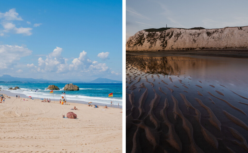
Temperatures near the Belgian border will remain around 8 – 13C, while near Biarritz, they could reach up to 25C.
This will be short-lived, however, as weekend storms will clear the air and see seasonal averages return across the country.
Wind patterns cause a shift
The dividing line between hot and cold roughly correlates to the Loire river.
Temperatures above the river (and in particular above the Seine) will be chillier than average, and those below (especially below the Garonne) will be warmer.
Unsurprisingly, it is the far north where people will be wrapping up most, with Lille and the surrounding area seeing the coldest weather.
East-blowing winds and a ‘cold bubble’ of air from Europe will combine to create the chilly conditions, which will not surpass 13C on Thursday or Friday, and are more likely to hover around 10C.
Yet, in the south, a mild southerly wind will see temperatures reach up to 25C – not as high as March’s record-breaking levels, but still around 6C higher than the average for April.
The further east in France you look, the weather returns to average temperatures for the season, usually a little colder than average.
Le contraste de #température nord/sud sera saisissant en fin de semaine avec la remontée d'air chaud sur le sud et la présence d'une goutte froide au nord. Les températures maximales devraient varier de 9°C à #Lille à 24°C à #Bordeaux 🌡☀🥶 pic.twitter.com/UiNiNaMK9d
— La Chaîne Météo (@lachainemeteo) April 18, 2023
Storms predicted for weekend but threat of frost remains
If the weather stays as it is, April will see temperatures colder than the monthly norm, breaking a 14-month streak in France of above-average temperatures.
Read also: France’s pollen season has begun. Here’s how to check levels near you
A slight chance of frost remains in the north and the central regions of France, although this is not expected to cause damage to gardens or crops.
Malgré un redoux général demain 🌡️, les #températures minimales resteront assez basses ces prochaines matinées et seront à nouveau en baisse sur la moitié nord jeudi et vendredi. De nouvelles #gelées sont à craindre surtout vendredi, entre 0°C et -1°C, ce qui reste faible 🥶 pic.twitter.com/u30YPRrBNw
— La Chaîne Météo (@lachainemeteo) April 18, 2023
Storms are predicted across France over the weekend, with rain beginning on Saturday morning (April 22).
Météo France has not yet issued weather warnings but may do so from Friday, if necessary.
Related articles
How France wants to stop another record year of wildfires
Briton infected with dengue fever in France: where are the risk areas?


