-
Severe rip current warning issued for south-west France beaches
Four departments of Nouvelle-Aquitaine under alert
-
Most private radar car flashes in France do not result in fines
Only one in five flashes ended with a penalty notice being issued in 2024, official data shows
-
Cold calling in France: parts of telemarketing law ruled unconstitutional
Court says parts of the law created a risk of multiple penalties for the same offence
Will the warm spell in France last all weekend?
The national average temperature is 6.6C warmer than the February average
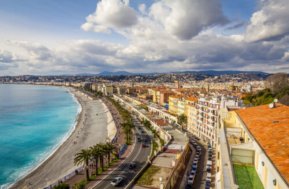
France’s warm spell is set to peak today (February 15), with temperatures of up to 25C in the south-west and in the Pyrénées.
Temperatures in the north are also above average for the season, reaching up to 17C in Paris and almost 20C in the Loire valley.
However, a bout of cooler weather in the north over the weekend will see temperatures drop. Temperatures in the south will remain above average.
In the south-west, the warm winds will bring dust and sand from the Sahara desert.
This is not a true ‘Sirocco’ wind, because it is arriving in a south-westerly flow, but will still affect many patriots of the south, as well as areas as far north as Brittany.
There are no increased health hazards from the dust, which happens several times each year, but those with serious respiratory issues are recommended to avoid strenuous exercise whilst the phenomena is present.
Pollution levels may be temporarily higher, however, in the affected departments.
Warm weather replaced by clouds and rain
Unlike recent spells, where the heat was mainly situated in the south, especially near Perpignan, currently all of France is experiencing the warm weather.
The national average temperature is 6.6C warmer than the February average, although locally it can be up to 10C warmer than usual.
By Saturday (February 17) morning however, temperatures north of the Loire will return closer to seasonal average, and grey clouds will cover almost all of France, except from parts of the south-west and Mediterranean coastline.
Temperatures will drop slightly although they will remain into double figures.
On Sunday, rain clouds will cover the sky from Lille down to Biarritz, with only the south-east, Alsace, and Brittany escaping.
The drop in temperatures will be sharper on Sunday, with temperatures mostly between 10C and 13C, but up to 20C near Perpignan.
Early predictions for next week see a return to a period of colder weather, with temperatures set to slide below the national seasonal average for the first time in weeks.
Read more: What is the Foehn effect and how has it intensified France’s heatwave?
Related articles
Lack of snow hangs over school holiday ski season in Pyrénées


