-
Updated June 28: 1,000 extra deaths in three days of heatwave in France
74 drownings have also been recorded since start of period of extreme heat
-
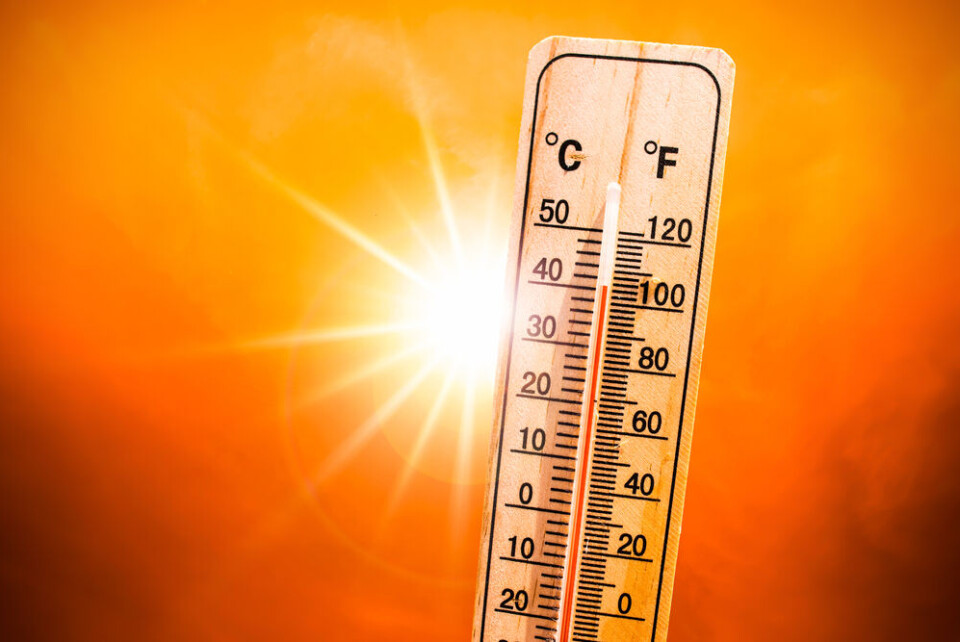
Heatwave to end for most of France from Sunday
Even so, highs will remain above seasonal averages, reaching around 30C in Paris, 33C in Toulouse and about 27C in Lille
-
French rugby players come to the rescue after retirement home lift breaks down
'Before we started warming up I told the players that we were going on a little mission,' said the coach
Return of hot weather this week in France: how hot and for how long?
Heatwave warnings are already in place in many areas
France is gearing up for its second heatwave in less than a month, as a hot Sahara wind blows in from the south west, affecting the entire country.
Temperatures above 38C are likely to be recorded at the beginning of the week, especially in the south west and centre of the country, according to forecasts from Météo France.
Heat records for this time of year are expected to be broken in several places.
Unlike during last month’s record-breaking heatwave, almost all of the country will be affected this time, with most of Brittany expected to see temperatures over 30C, and Normandy and Hauts-de-France of around 30C.
Météo France has currently placed a number of departments in western and central France on a tier-two yellow heatwave alert, with warnings continuing into the week.
All of France impacted at start of week
Unlike August’s heatwave, which saw temperatures primarily spike in the Rhône valley and south west, this heatwave is bringing hotter weather right across the country.
The western coast, particularly in the south west around the Garonne valley will be most affected today (September 4), with temperatures of up to 39C in some areas.
Elsewhere, the centre of France will see highs of around 36C, and almost all of the country will record temperatures for September of above 30C.
Although the intensity will die down slightly by Tuesday, more of France will see highs of up to 36C, including Paris and parts of the north.
Essentially all of the country, aside from small pockets on the mountainous borders and northern coast, will see temperatures of over 30C.
Brittany, which largely escaped August’s exceptionally warm weather, could see temperatures of 33C across the week in the city of Rennes.
🌡️ Épisode de fortes chaleurs tardives et durables à venir.
— Météo-France (@meteofrance) September 3, 2023
➡️ Lundi, une masse d’air très chaud pour la saison devrait englober une large partie Ouest du pays.
➡️ Globalement, ces températures élevées devraient durer toute la semaine.
👉 Plus d'infos : https://t.co/QfhhiV1JR8 pic.twitter.com/GLPV34WESb
Read more: France heatwave: what to (and not to) eat and drink
Warnings already in place
As of Monday, 21 departments are on tier two yellow warnings for canicule (heatwave) conditions.
The warnings are also in place on Tuesday in the same departments, although warnings could be extended or raised in other departments as the heatwave continues into the week.
Heatwave warnings are called on a departmental basis according to daytime and evening temperatures.
This means that even though it may be warmer in certain parts of the south than in the centre of France, central departments are facing warnings because temperatures are significantly warmer than average there and remain above a certain level at night.
You can see the departments facing warnings on the official Météo France website here.
How long is the heatwave expected to last?
Although Monday and Tuesday are set to be the warmest days, temperatures will only drop slightly by Wednesday, with most of the country still affected.
Early predictions for Thursday and Friday see temperatures remaining largely at the same level throughout.
Saturday will see pockets of rain come eastwards from the Atlantic coast, but this will not affect temperatures .
“For the moment, a drop in temperatures is not expected until at least Sunday,” predicts Météo France.
Read more: Heatwaves: France’s housing minister backs grants to help cool homes


